ZipCode 6315 Areas, AU PostCode 6315 Suburbs
Postcode 6315 Suburbs, ZipCode 6315 Areas & Regions in Wheat Belt - South,WA Australia
There are at least 12 AU suburbs share the same AU PostCode 6315 Suburbs in Wheat Belt - South.
Postal Code 6315 Regions
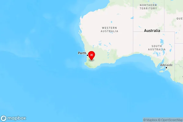
The Australia postcode 6315 regions include Wagin, Kulin in the areas of Wheat Belt - South, Wagin, These postcode areas are all located in the state Western Australia, WA.Australia postcode 6315 is located in the state of Western Australia, in the city of Perth. It covers an area of approximately 1.2 square kilometers and has a population of approximately 1,500 people. The postcode is in the local government area of the City of Perth and falls within the federal division of Curtin. The postcode is known for its residential properties, including houses and apartments, as well as for its commercial and industrial areas. It is also close to several parks and recreational facilities, including the Perth Zoo and the Swan River.
ZipCode 6315 Areas Map for Wagin

AU PostCode 6315 Suburbs Map for Kulin

AU PostCode 6315 Suburbs
AU PostCode 6315 suburbs contain Arthur River, Ballaying, Cancanning, Collanilling, Dongolocking, Gundaring, Jaloran, Lime Lake, Minding, Piesseville, Wagin, Wedgecarrup, you can check the below link to see the 12 suburbs detailed information.
AU PostCode 6315 Suburbs Map
ZipCode 6315 Areas
1. Arthur River
2. Ballaying
3. Cancanning
4. Collanilling
5. Dongolocking
6. Gundaring
7. Jaloran
8. Lime Lake
9. Minding
10. Piesseville
11. Wagin
12. Wedgecarrup