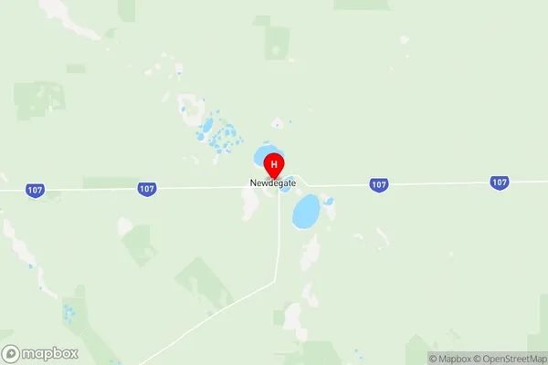
Kulin Suburbs & Region, Kulin Map & Postcodes
Kulin Suburbs & Region, Kulin Map & Postcodes in Kulin, Wheat Belt South, Western Australia Wheat Belt, WA, AU
Kulin Region
Region Name
Kulin (WA, AU)Kulin Area
28626 square kilometers (28,626 ㎢)Postal Codes
6312, 6315, 6317, from 6350 to 6353, from 6355 to 6359, 6361, 6363, 6365, 6367, 6370, and 6372 (In total, there are 18 postcodes in Kulin.)Kulin Introduction
Kulin is a town in the Shire of Buloke, Western Australia, 162 km northeast of Melbourne, the state capital. It is in the Wheatbelt region and is part of the Great Southern region. The town was named after the Kulin nation, which is part of the Aboriginal peoples of Western Australia. Kulin is known for its wheat farming and its historic grain silos. The town has a population of around 3,000 people and is a popular tourist destination. The Kulin National Park is located nearby and is a popular spot for hiking, camping, and wildlife watching. The town also has a golf course, a swimming pool, and a variety of shops and restaurants.Australia State
City or Big Region
Greater Capital City
Rest of WA (5RWAU)District or Regional Area
Suburb Name
Kulin Region Map

Kulin Postcodes / Zip Codes
Kulin Suburbs
Kulin full address
Kulin, Wheat Belt South, Western Australia Wheat Belt, Western Australia, WA, Australia, SaCode: 509031247Country
Kulin, Wheat Belt South, Western Australia Wheat Belt, Western Australia, WA, Australia, SaCode: 509031247
Kulin Suburbs & Region, Kulin Map & Postcodes has 0 areas or regions above, and there are 60 Kulin suburbs below. The sa2code for the Kulin region is 509031247. Its latitude and longitude coordinates are -33.0932,119.024. Kulin area belongs to Australia's greater capital city Rest of WA.
Kulin Suburbs & Localities
1. Dongolocking
2. Dumbleyung
3. Nippering
4. North Burngup
5. Lake Biddy
6. Lake Camm
7. Newdegate
8. Varley
9. Dudinin
10. Jitarning
11. Kulin
12. Kulin West
13. Kondinin
14. Gillimanning
15. Yealering
16. Datatine
17. Moulyinning
18. Kukerin
19. Merilup
20. North Kukerin
21. Lake Grace
22. East Newdegate
23. Holt Rock
24. Magenta
25. South Newdegate
26. Hatter Hill
27. Mount Madden
28. Bendering
29. Kirk Rock
30. Nairibin
31. North Moulyinning
32. Buniche
33. Kuender
34. South Lake Grace
35. Tarin Rock
36. Mount Sheridan
37. Lake King
38. Karlgarin
39. Hyden
40. Kirk Rock
41. Malyalling
42. Toolibin
43. Bullock Hills
44. South Kukerin
45. Beenong
46. Mallee Hill
47. Neendaling
48. North Lake Grace
49. Dunn Rock
50. Little Italy
51. Pingaring
52. Forrestania
53. Little Italy
54. Harrismith
55. Tincurrin
56. Walyurin
57. Jilakin
58. East Wickepin
59. Wickepin
60. Wogolin
