Little Italy Area, Little Italy Postcode(6355) & Map in Little Italy, Western Australia - Wheat Belt, WA
Little Italy Area, Little Italy Postcode(6355) & Map in Little Italy, Western Australia - Wheat Belt, WA, AU, Postcode: 6355
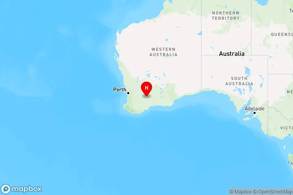
Little Italy, Kulin, Wheat Belt - South, Western Australia - Wheat Belt, Western Australia, Australia, 6355
Little Italy Postcode
Area Name
Little ItalyLittle Italy Suburb Area Map (Polygon)

Little Italy Introduction
Little Italy is a small town in Western Australia's Wheat Belt region, known for its Italian heritage and agricultural industry. It is home to a number of Italian restaurants and wineries, and hosts an annual Italian Festival.State Name
City or Big Region
District or Regional Area
Suburb Name
Little Italy Region Map
Country
Main Region in AU
R3Coordinates
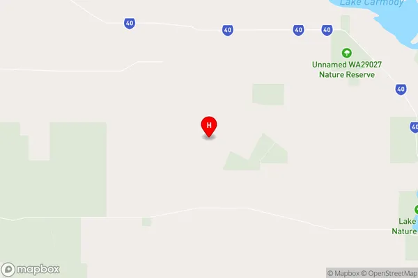
-32.6247408,119.1533989 (latitude/longitude)Little Italy Area Map (Street)
Longitude
119.098339Latitude
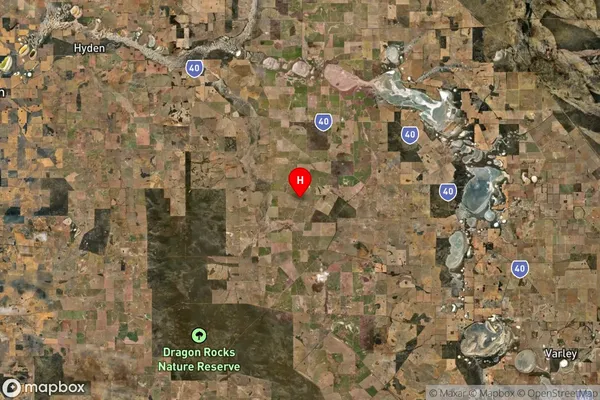
-33.032688Little Italy Suburb Map (Satellite)
Distances
The distance from Little Italy, Western Australia - Wheat Belt, WA to AU Greater Capital CitiesSA1 Code 2011
50903124713SA1 Code 2016
50903124713SA2 Code
509031247SA3 Code
50903SA4 Code
509RA 2011
4RA 2016
4MMM 2015
6MMM 2019
6Charge Zone
W2LGA Region
Lake GraceLGA Code
54900Electorate
Durack