Wagin Suburbs & Region, Wagin Map & Postcodes
Wagin Suburbs & Region, Wagin Map & Postcodes in Wagin, Wheat Belt South, Western Australia Wheat Belt, WA, AU
Wagin Region
Region Name
Wagin (WA, AU)Wagin Area
9400 square kilometers (9,400 ㎢)Wagin Suburb Area Map (Polygon)

Wagin Introduction
Wagin is a town in the Wheatbelt region of Western Australia, 212 kilometers southeast of Perth, the state capital. It is the administrative center of the Shire of Wagin and is located on the Great Eastern Highway. The town was founded in 1892 and named after the Wagin River, which flows through it. The population of Wagin at the 2011 census was 3,674. The town is known for its agriculture, with wheat being the main crop grown in the area. There are also several wineries and tourist attractions in the town, including the Wagin Historic Machinery Museum and the Wagin Visitor Information Center.Australia State
City or Big Region
Greater Capital City
Rest of WA (5RWAU)District or Regional Area
Suburb Name
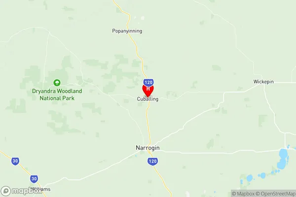
Wagin Region Map
Wagin Suburbs
Wagin full address
Wagin, Wheat Belt South, Western Australia Wheat Belt, Western Australia, WA, Australia, SaCode: 509031250Country
Wagin, Wheat Belt South, Western Australia Wheat Belt, Western Australia, WA, Australia, SaCode: 509031250
Wagin Suburbs & Region, Wagin Map & Postcodes has 0 areas or regions above, and there are 0 Wagin suburbs below. The sa2code for the Wagin region is 509031250. Its latitude and longitude coordinates are -32.8189,117.179. Wagin area belongs to Australia's greater capital city Rest of WA.