Pingrup Area, Pingrup Postcode(6343) & Map in Pingrup, Western Australia - Wheat Belt, WA
Pingrup Area, Pingrup Postcode(6343) & Map in Pingrup, Western Australia - Wheat Belt, WA, AU, Postcode: 6343
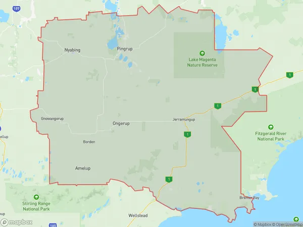
Pingrup, Gnowangerup, Albany, Western Australia - Wheat Belt, Western Australia, Australia, 6343
Pingrup Postcode
Area Name
PingrupPingrup Suburb Area Map (Polygon)
Pingrup Introduction
Pingrup is a town in the Wheat Belt region of Western Australia, located 220 km southeast of Perth. It is known for its wheat farming and is home to the Pingrup Agricultural Show, which is held annually in September. The town has a population of around 1,000 people and is a popular destination for tourists who enjoy the rural lifestyle and the surrounding natural beauty.State Name
City or Big Region
District or Regional Area
Suburb Name
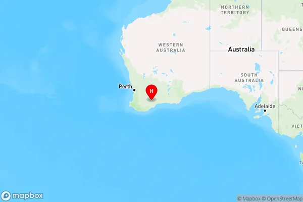
Pingrup Region Map
Country
Main Region in AU
R3Coordinates
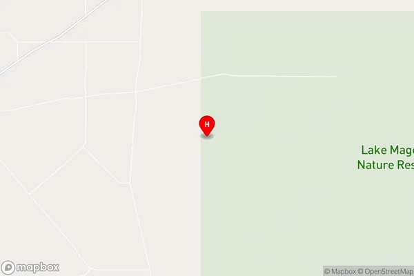
-33.5438705,118.8596804 (latitude/longitude)Pingrup Area Map (Street)
Longitude
118.79925Latitude
-33.535559Pingrup Elevation
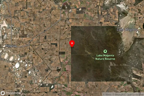
about 341.29 meters height above sea level (Altitude)Pingrup Suburb Map (Satellite)
Distances
The distance from Pingrup, Western Australia - Wheat Belt, WA to AU Greater Capital CitiesSA1 Code 2011
50901122902SA1 Code 2016
50901122902SA2 Code
509011229SA3 Code
50901SA4 Code
509RA 2011
4RA 2016
4MMM 2015
6MMM 2019
6Charge Zone
W2LGA Region
KentLGA Code
54480Electorate
Durack