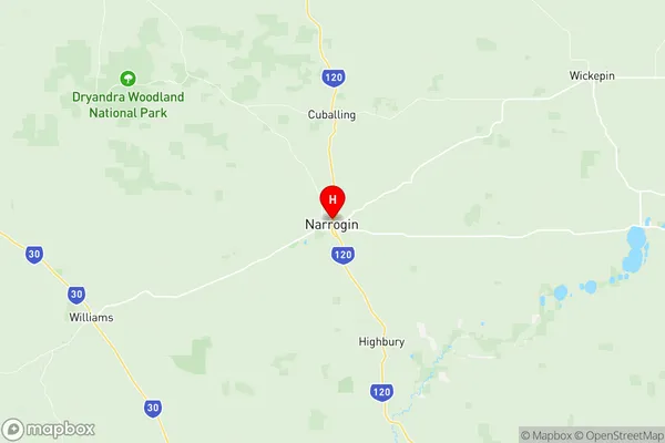
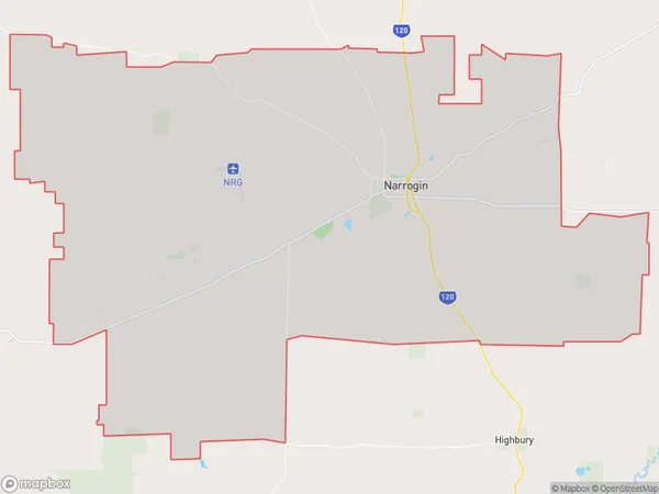
Narrogin Suburbs & Region, Narrogin Map & Postcodes
Narrogin Suburbs & Region, Narrogin Map & Postcodes in Narrogin, Wheat Belt South, Western Australia Wheat Belt, WA, AU
Narrogin Region
Region Name
Narrogin (WA, AU)Narrogin Area
509.3 square kilometers (509.3 ㎢)Postal Codes
6312 (In total, there are 1 postcodes in Narrogin.)Narrogin Introduction
Narrogin is a town in the Wheatbelt region of Western Australia, 216 kilometers southeast of Perth, the state capital. It is the administrative center of the Shire of Narrogin, which was established in 1905. The town is named after the Narrogin River, which flows through it. Narrogin is a major agricultural hub, with a large wheat industry and a processing plant. The town also has a hospital, a college, and a variety of shops and services. The surrounding area is known for its scenic beauty, with rolling hills and farmland. Narrogin is a popular tourist destination, with many visitors coming to explore the region's natural attractions and heritage.Australia State
City or Big Region
Greater Capital City
Rest of WA (5RWAU)District or Regional Area
Suburb Name
Narrogin Region Map

Narrogin Postcodes / Zip Codes
Narrogin Suburbs
Narrogin full address
Narrogin, Wheat Belt South, Western Australia Wheat Belt, Western Australia, WA, Australia, SaCode: 509031249Country
Narrogin, Wheat Belt South, Western Australia Wheat Belt, Western Australia, WA, Australia, SaCode: 509031249
Narrogin Suburbs & Region, Narrogin Map & Postcodes has 0 areas or regions above, and there are 5 Narrogin suburbs below. The sa2code for the Narrogin region is 509031249. Its latitude and longitude coordinates are -32.9312,117.179. Narrogin area belongs to Australia's greater capital city Rest of WA.
Narrogin Suburbs & Localities
1. Narrogin Valley
2. Dumberning
3. Narrogin
4. Hillside
5. Minigin
