Wanneroo Suburbs & Region, Wanneroo Map & Postcodes
Wanneroo Suburbs & Region, Wanneroo Map & Postcodes in Wanneroo, Perth North West, WA, AU
Wanneroo Region
Region Name
Wanneroo (WA, AU)Wanneroo Area
684.2 square kilometers (684.2 ㎢)Wanneroo Introduction
Wanneroo is a suburb of Perth, the capital city of Western Australia, and is located in the City of Wanneroo. It is approximately 20 kilometers north of Perth's central business district (CBD) and is part of the Perth metropolitan area. Wanneroo is a well-established suburb with a rich history. It was first established in the 19th century as a farming community and was named after the Wanneroo River, which flows through the area. The suburb has since grown and developed, with a mix of residential, commercial, and industrial areas. Wanneroo is known for its beautiful parks and gardens, including the Wanneroo Botanic Garden, which is one of the largest botanical gardens in Western Australia. The suburb also has a number of shopping centers, including the Westfield Whitford City shopping complex, which is the largest shopping center in the Perth metropolitan area. Wanneroo is home to a number of notable landmarks, including the Wanneroo Showgrounds, which is the site of the annual Wanneroo Show and the Wanneroo Markets. The showgrounds are also home to the Wanneroo Racecourse, which hosts a number of horse races throughout the year. The suburb has a diverse population, with a mix of different cultures and backgrounds. There are a number of public schools and colleges in the area, as well as a number of healthcare facilities, including the WanAustralia State
City or Big Region
District or Regional Area
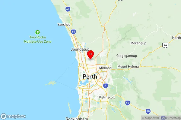
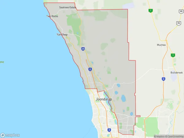
Wanneroo Region Map

Wanneroo Suburbs
Heathridge Connolly
Joondalup Edgewater
Mullaloo Kallaroo
Balga Mirrabooka
Nollamara Westminster
Alexander Heights Koondoola
Butler Merriwa Ridgewood
Madeley Darch Landsdale
Mindarie Quinns Rocks Jindalee
Neerabup National Park
Tapping Ashby Sinagra
Alkimos Eglinton
Carabooda Pinjar
Hocking Pearsall
Wanneroo Sinagra
Wanneroo full address
Wanneroo, Perth North West, Western Australia, WA, Australia, SaCode: 50503Country
Wanneroo, Perth North West, Western Australia, WA, Australia, SaCode: 50503
Wanneroo Suburbs & Region, Wanneroo Map & Postcodes has 27 areas or regions above, and there are 0 Wanneroo suburbs below. The sa3code for the Wanneroo region is 50503. Its latitude and longitude coordinates are -31.8269,115.867.
