Nowergup Area, Nowergup Postcode(6032) & Map in Nowergup, Perth - North West, WA
Nowergup Area, Nowergup Postcode(6032) & Map in Nowergup, Perth - North West, WA, AU, Postcode: 6032
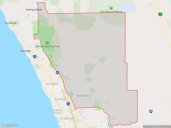
Nowergup, Carabooda - Pinjar, Wanneroo, Perth - North West, Western Australia, Australia, 6032
Nowergup Postcode
Area Name
NowergupNowergup Suburb Area Map (Polygon)
Nowergup Introduction
Nowergup is a suburb of Perth, Western Australia, located 20 kilometers north of the city center. It is known for its natural beauty, including the nearby beaches and parks. Nowergup is also home to a variety of shops, restaurants, and other amenities.State Name
City or Big Region
District or Regional Area
Suburb Name
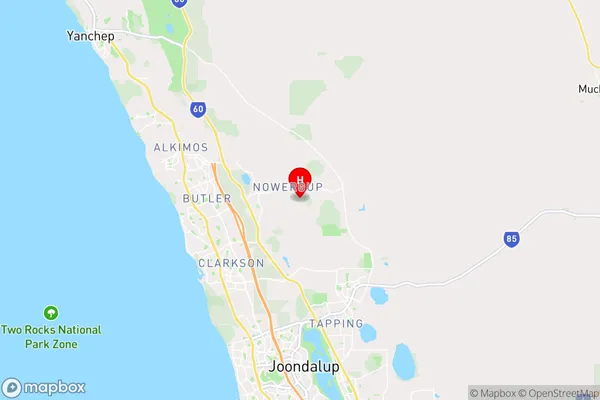
Nowergup Region Map

Country
Main Region in AU
R2Coordinates
-31.6459321,115.7693535 (latitude/longitude)Nowergup Area Map (Street)
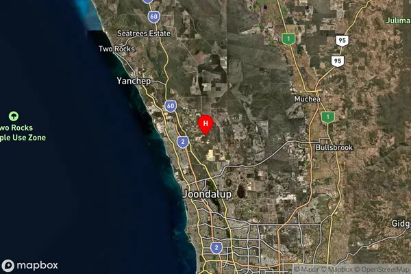
Longitude
115.74887Latitude
-31.643227Nowergup Suburb Map (Satellite)
Distances
The distance from Nowergup, Perth - North West, WA to AU Greater Capital CitiesSA1 Code 2011
50503110918SA1 Code 2016
50503125603SA2 Code
505031256SA3 Code
50503SA4 Code
505RA 2011
1RA 2016
1MMM 2015
1MMM 2019
1Charge Zone
W1LGA Region
WannerooLGA Code
58760Electorate
Pearce