Perth North West Suburbs & Region, Perth North West Map & Postcodes
Perth North West Suburbs & Region, Perth North West Map & Postcodes in Perth North West, WA, AU
Perth North West Region
Region Name
Perth North West (WA, AU)Perth North West Area
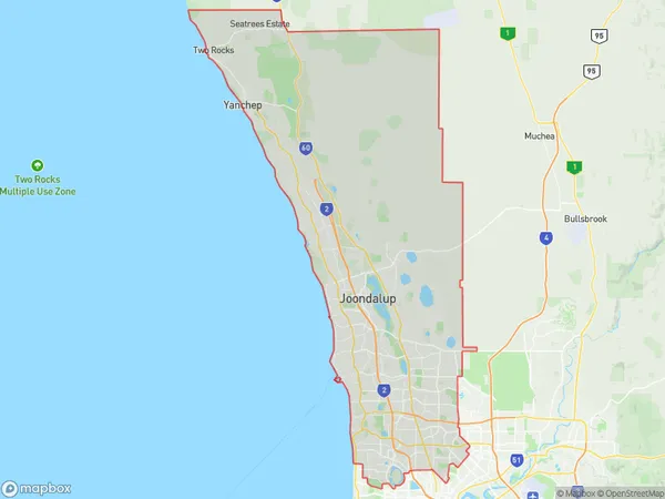
884.01 square kilometers (884.01 ㎢)Perth North West Suburb Area Map (Polygon)
Perth North West Introduction
Perth North West is a suburb in the City of Perth, Western Australia, located 10 kilometers north-west of Perth's central business district. It is part of the City of Stirling local government area. The suburb was named after the North West Railway Line, which was built through it in 1892. The railway line was later extended to Perth in 1911. Perth North West is a diverse suburb with a mix of residential and commercial properties. It is home to several parks, including the City of Stirling's largest park, Kings Park, which features a botanical garden, wildlife reserve, and picnic areas. The suburb also has a shopping center, several schools, and a medical center.Australia State
City or Big Region
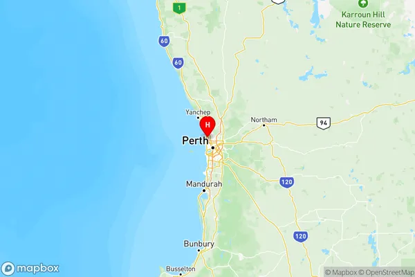
Perth North West Region Map
Perth North West Suburbs
Perth North West full address
Perth North West, Western Australia, WA, Australia, SaCode: 505Country
Perth North West, Western Australia, WA, Australia, SaCode: 505
Perth North West Suburbs & Region, Perth North West Map & Postcodes has 3 areas or regions above, and there are 0 Perth North West suburbs below. The sa4code for the Perth North West region is 505. Its latitude and longitude coordinates are -31.8306,115.775.