Eglinton Area, Eglinton Postcode(6034) & Map in Eglinton, Perth - North West, WA
Eglinton Area, Eglinton Postcode(6034) & Map in Eglinton, Perth - North West, WA, AU, Postcode: 6034
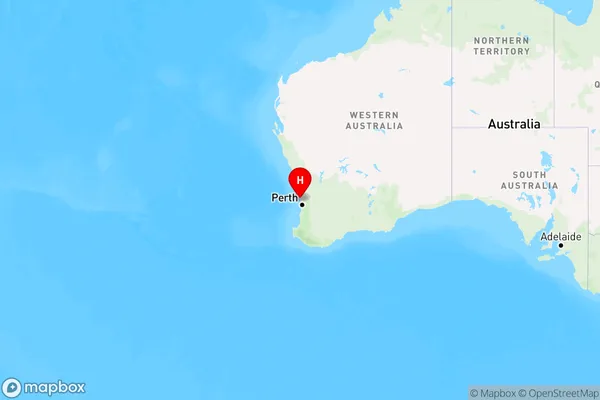
Eglinton, Alkimos - Eglinton, Wanneroo, Perth - North West, Western Australia, Australia, 6034
Eglinton Postcode
Area Name
EglintonEglinton Suburb Area Map (Polygon)

Eglinton Introduction
Eglinton is a suburb of Perth, Western Australia, located in the City of Wanneroo. It is named after the Eglinton Estate, which was established in the area in the 1890s. The suburb is home to a variety of amenities, including a shopping center, schools, and parks.State Name
City or Big Region
District or Regional Area
Suburb Name
Eglinton Region Map
Country
Main Region in AU
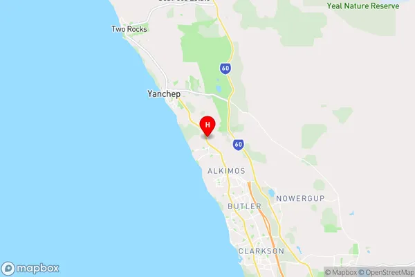
R2Coordinates
-31.5877637,115.6687491 (latitude/longitude)Eglinton Area Map (Street)
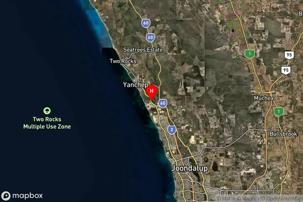
Longitude
115.663878Latitude
-31.585614Eglinton Suburb Map (Satellite)
Distances
The distance from Eglinton, Perth - North West, WA to AU Greater Capital CitiesSA1 Code 2011
50503110915SA1 Code 2016
50503125503SA2 Code
505031255SA3 Code
50503SA4 Code
505RA 2011
2RA 2016
1MMM 2015
2MMM 2019
1Charge Zone
W1LGA Region
WannerooLGA Code
58760Electorate
Pearce