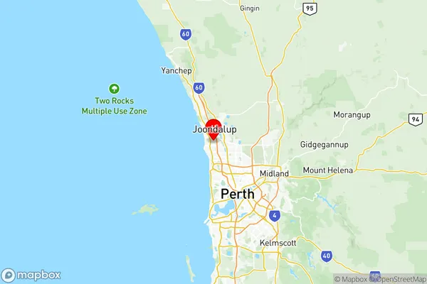
Joondalup Suburbs & Region, Joondalup Map & Postcodes
Joondalup Suburbs & Region, Joondalup Map & Postcodes in Joondalup, Perth North West, WA, AU
Joondalup Region
Region Name
Joondalup (WA, AU)Joondalup Area
100.49 square kilometers (100.49 ㎢)Postal Codes
from 6023 to 6026, 6028, 6923, and 6924 (In total, there are 7 postcodes in Joondalup.)Joondalup Introduction
Joondalup is a city in the northern suburbs of Perth, Western Australia, and is part of the City of Joondalup. It is located 20 kilometers (12 mi) north of Perth's central business district (CBD) and is the administrative center of the City of Joondalup. The population of Joondalup at the 2016 census was 32,283, making it the second-largest city in the Perth metropolitan area. The city is named after the Joondalup River, which flows through it and is a tributary of the Swan River. The river was named by the indigenous Noongar people, who called it "Yallingup," meaning "place of water." The city has a variety of attractions, including the Lake Joondalup Leisureplex, the Joondalup Resort, and the City of Joondalup Art Gallery. It is also home to a number of major shopping centers, including the Westfield Whitford City and the Lake Joondalup Shopping Center. Joondalup is a popular residential area, with many new housing developments and subdivisions being built in recent years. The city is well-connected to Perth's CBD and other parts of the state, with excellent road and rail links. It is also home to a number of universities and colleges, including the University of Western Australia and Edith Cowan University.Australia State
City or Big Region
District or Regional Area
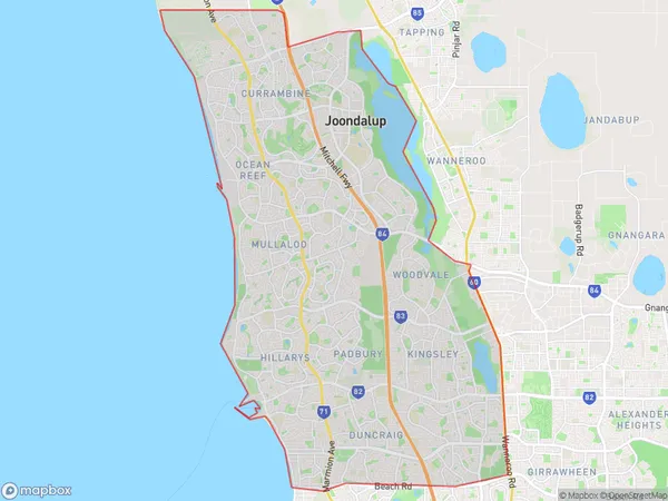
Joondalup Region Map

Joondalup Postcodes / Zip Codes
Joondalup Suburbs
Currambine Kinross
Greenwood Warwick
Iluka Burns Beach
Joondalup full address
Joondalup, Perth North West, Western Australia, WA, Australia, SaCode: 50501Country
Joondalup, Perth North West, Western Australia, WA, Australia, SaCode: 50501
Joondalup Suburbs & Region, Joondalup Map & Postcodes has 8 areas or regions above, and there are 16 Joondalup suburbs below. The sa3code for the Joondalup region is 50501. Its latitude and longitude coordinates are -31.7852,115.768.
Joondalup Suburbs & Localities
1. Duncraig
2. Warwick
3. Woodvale
4. Glengarry
5. Greenwood
6. Craigie
7. Hillarys
8. Kallaroo
9. Padbury
10. Kingsley
11. Burns Beach
12. Currambine
13. Iluka
14. Kinross
15. Greenwood
16. Hillarys
