ZipCode 6025 Areas, AU PostCode 6025 Suburbs
Postcode 6025 Suburbs, ZipCode 6025 Areas & Regions in Joondalup,WA Australia
There are at least 4 AU suburbs share the same AU PostCode 6025 Suburbs in Joondalup.
Postal Code 6025 Regions
The Australia postcode 6025 regions include Craigie - Beldon, Hillarys, Mullaloo - Kallaroo, Padbury in the areas of Joondalup, Craigie - Beldon, These postcode areas are all located in the state Western Australia, WA.Australia postcode 6025 is located in the state of Western Australia, in the local government area of the City of Stirling. It covers an area of approximately 1.9 square kilometers and has a population of approximately 2,500 people. The postcode includes the suburbs of Scarborough, Trigg, and Sorrento.
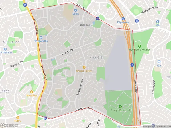
ZipCode 6025 Areas Map for Craigie - Beldon
AU PostCode 6025 Suburbs Map for Hillarys

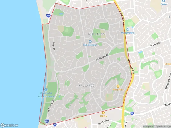
Postal Code 6025 Regions Map for Mullaloo - Kallaroo
AU PostCode 6025 Suburbs
AU PostCode 6025 suburbs contain Craigie, Hillarys, Kallaroo, Padbury, you can check the below link to see the 4 suburbs detailed information.
AU PostCode 6025 Suburbs Map
ZipCode 6025 Areas
1. Craigie
2. Hillarys
3. Kallaroo
4. Padbury