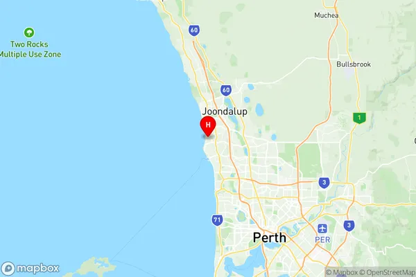
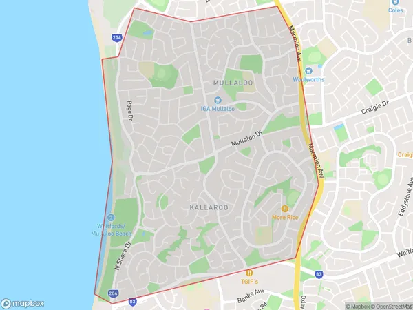
Mullaloo Kallaroo Suburbs & Region, Mullaloo Kallaroo Map & Postcodes
Mullaloo Kallaroo Suburbs & Region, Mullaloo Kallaroo Map & Postcodes in Mullaloo Kallaroo, Wanneroo, Perth North West, WA, AU
Mullaloo Kallaroo Region
Region Name
Mullaloo Kallaroo (WA, AU)Mullaloo Kallaroo Area
5.89 square kilometers (5.89 ㎢)Postal Codes
6025, and 6027 (In total, there are 2 postcodes in Mullaloo Kallaroo.)Mullaloo Kallaroo Introduction
Mullaloo Beach is a suburb of Perth, Western Australia, located 20 kilometers north of Perth's central business district (CBD) and 12 kilometers north of the city of Joondalup. It is part of the City of Wanneroo local government area. Mullaloo is a popular beach destination, with a wide stretch of sand and clear waters. It is also home to a number of parks and recreational facilities, including the Mullaloo Beach Aquatic Centre and the Mullaloo Golf Club. The suburb has a population of around 11,000 people and is known for its relaxed and laid-back atmosphere.Australia State
City or Big Region
Greater Capital City
Greater Perth (5GPER)District or Regional Area
Suburb Name
Mullaloo Kallaroo Region Map

Mullaloo Kallaroo Postcodes / Zip Codes
Mullaloo Kallaroo Suburbs
Mullaloo Kallaroo full address
Mullaloo Kallaroo, Wanneroo, Perth North West, Western Australia, WA, Australia, SaCode: 505011079Country
Mullaloo Kallaroo, Wanneroo, Perth North West, Western Australia, WA, Australia, SaCode: 505011079
Mullaloo Kallaroo Suburbs & Region, Mullaloo Kallaroo Map & Postcodes has 0 areas or regions above, and there are 2 Mullaloo Kallaroo suburbs below. The sa2code for the Mullaloo Kallaroo region is 505011079. Its latitude and longitude coordinates are -31.789,115.739. Mullaloo Kallaroo area belongs to Australia's greater capital city Greater Perth.
Mullaloo Kallaroo Suburbs & Localities
1. Mullaloo
2. Kallaroo
