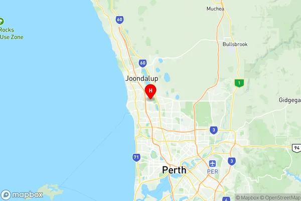
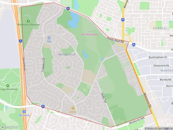
Woodvale Suburbs & Region, Woodvale Map & Postcodes
Woodvale Suburbs & Region, Woodvale Map & Postcodes in Woodvale, Joondalup, Perth North West, WA, AU
Woodvale Region
Region Name
Woodvale (WA, AU)Woodvale Area
7.2 square kilometers (7.2 ㎢)Postal Codes
6026 (In total, there are 1 postcodes in Woodvale.)Woodvale Introduction
Woodvale is a suburb in the City of Stirling, located 16 kilometers north-east of Perth's central business district (CBD). It is part of the City of Stirling's northern corridor and is bordered by the Mitchell Freeway to the north, the Roe Highway to the east, the Joondalup railway line to the south, and the Wanneroo Road to the west. The suburb was named after the Woodvale railway station, which was located on the Midland line between Perth and Guildford. The station was opened in 1891 and closed in 1976. Today, Woodvale is a residential suburb with a mix of houses and apartments. It has a number of parks and recreational facilities, including the Woodvale Community Centre, which features a swimming pool, tennis courts, and a gymnasium. The suburb also has a number of shopping centers, including the Woodvale Shopping Centre and the Woodvale Village Shopping Centre.Australia State
City or Big Region
Greater Capital City
Greater Perth (5GPER)District or Regional Area
Suburb Name
Woodvale Region Map

Woodvale Postcodes / Zip Codes
Woodvale Suburbs
Woodvale full address
Woodvale, Joondalup, Perth North West, Western Australia, WA, Australia, SaCode: 505011083Country
Woodvale, Joondalup, Perth North West, Western Australia, WA, Australia, SaCode: 505011083
Woodvale Suburbs & Region, Woodvale Map & Postcodes has 0 areas or regions above, and there are 1 Woodvale suburbs below. The sa2code for the Woodvale region is 505011083. Its latitude and longitude coordinates are -31.7945,115.796. Woodvale area belongs to Australia's greater capital city Greater Perth.
Woodvale Suburbs & Localities
1. Woodvale
