Kingsley Area, Kingsley Postcode(6026) & Map in Kingsley, Perth - North West, WA
Kingsley Area, Kingsley Postcode(6026) & Map in Kingsley, Perth - North West, WA, AU, Postcode: 6026
Kingsley, Kingsley, Joondalup, Perth - North West, Western Australia, Australia, 6026
Kingsley Postcode
Area Name
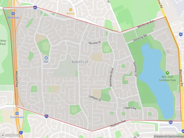
KingsleyKingsley Suburb Area Map (Polygon)
Kingsley Introduction
Kingsley is a suburb of Perth, Western Australia, located 15 kilometers north of the central business district. It is known for its natural beauty, including the nearby Kingsley Beach and the Kingsley Golf Course. The suburb has a population of approximately 10,000 people and is home to a variety of shops, restaurants, and recreational facilities.State Name
City or Big Region
District or Regional Area
Suburb Name
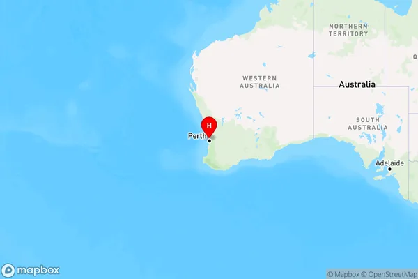
Kingsley Region Map
Country
Main Region in AU
R2Coordinates
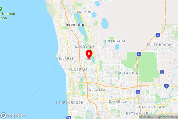
-31.8115417,115.8043918 (latitude/longitude)Kingsley Area Map (Street)
Longitude
115.799832Latitude
-31.801707Kingsley Elevation
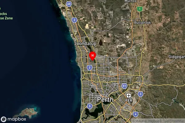
about 38.74 meters height above sea level (Altitude)Kingsley Suburb Map (Satellite)
Distances
The distance from Kingsley, Perth - North West, WA to AU Greater Capital CitiesSA1 Code 2011
50501107815SA1 Code 2016
50501107815SA2 Code
505011078SA3 Code
50501SA4 Code
505RA 2011
1RA 2016
1MMM 2015
1MMM 2019
1Charge Zone
W1LGA Region
JoondalupLGA Code
54170Electorate
Moore