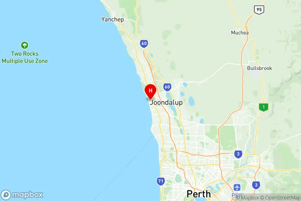
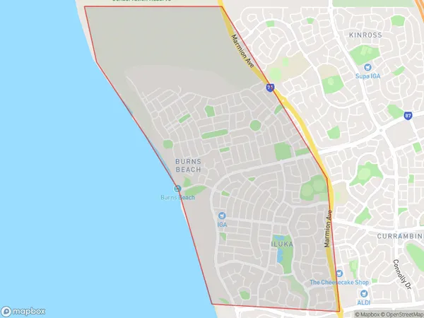
Iluka Burns Beach Suburbs & Region, Iluka Burns Beach Map & Postcodes
Iluka Burns Beach Suburbs & Region, Iluka Burns Beach Map & Postcodes in Iluka Burns Beach, Joondalup, Perth North West, WA, AU
Iluka Burns Beach Region
Region Name
Iluka Burns Beach (WA, AU)Iluka Burns Beach Area
5.83 square kilometers (5.83 ㎢)Postal Codes
6028 (In total, there are 1 postcodes in Iluka Burns Beach.)Iluka Burns Beach Introduction
Iluka Burns Beach is a beautiful coastal suburb located in the Perth North West region of Western Australia. It is situated approximately 25 kilometers north of Perth's central business district and is known for its stunning natural beauty, including pristine beaches, lush gardens, and a peaceful atmosphere. The suburb is named after the late Iluka Burns, who was a prominent local resident and community leader. Iluka Burns Beach offers a range of amenities for residents and visitors, including a shopping center, a medical center, a library, and a variety of recreational facilities. The beach is a popular spot for swimming, surfing, and fishing, and there are also walking trails and picnic areas nearby. The suburb is surrounded by natural attractions, including the Darling Range National Park and the Hillarys Boat Harbour, which is home to a variety of marine species. Iluka Burns Beach is a safe and welcoming community with a strong sense of community spirit. It is a popular destination for families and retirees alike, and its peaceful and relaxed atmosphere makes it an ideal place to call home.Australia State
City or Big Region
Greater Capital City
Greater Perth (5GPER)District or Regional Area
Suburb Name
Iluka Burns Beach Region Map

Iluka Burns Beach Postcodes / Zip Codes
Iluka Burns Beach Suburbs
Iluka Burns Beach full address
Iluka Burns Beach, Joondalup, Perth North West, Western Australia, WA, Australia, SaCode: 505011076Country
Iluka Burns Beach, Joondalup, Perth North West, Western Australia, WA, Australia, SaCode: 505011076
Iluka Burns Beach Suburbs & Region, Iluka Burns Beach Map & Postcodes has 0 areas or regions above, and there are 2 Iluka Burns Beach suburbs below. The sa2code for the Iluka Burns Beach region is 505011076. Its latitude and longitude coordinates are -31.7389,115.729. Iluka Burns Beach area belongs to Australia's greater capital city Greater Perth.
Iluka Burns Beach Suburbs & Localities
1. Burns Beach
2. Iluka
