Stirling Suburbs & Region, Stirling Map & Postcodes
Stirling Suburbs & Region, Stirling Map & Postcodes in Stirling, Perth North West, WA, AU
Stirling Region
Region Name
Stirling (WA, AU)Stirling Area
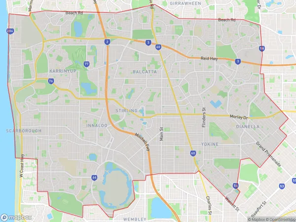
99.33 square kilometers (99.33 ㎢)Stirling Suburb Area Map (Polygon)
Stirling Introduction
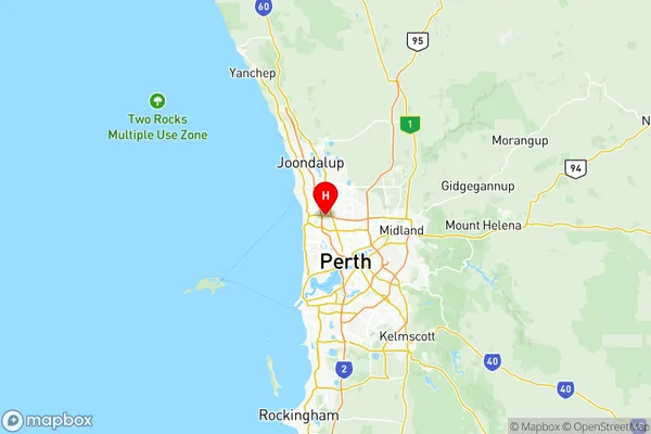
Stirling is a suburb of Perth, the capital city of Western Australia, located in the City of Stirling. It is situated approximately 10 kilometers north-west of Perth's central business district (CBD) and is part of the wider Perth metropolitan area. Stirling is a well-established suburb with a rich history. It was named after Sir George Stirling, who was Governor of Western Australia from 1859 to 1868. The suburb was developed in the early 20th century as a residential area for workers in the nearby Perth Mint and other industries. Today, Stirling is a diverse and vibrant community with a mix of residential, commercial, and recreational facilities. It is home to a number of parks, including the popular Stirling Park, which features a playground, walking trails, and a lake. The suburb also has a shopping center, several cafes, restaurants, and a medical center. Stirling is well-connected to the rest of Perth via public transport, with several bus routes and the Stirling Train Station located within the suburb. The Perth Airport is also easily accessible, with regular flights to destinations around the world. In terms of real estate, Stirling is a popular suburb with a mix of properties, including single-family homes, townhouses, and apartments. The suburb has a relatively low crime rate and is considered a safe and secure place to live. Overall, StirlingAustralia State
City or Big Region
District or Regional Area
Stirling Region Map
Stirling Suburbs
Mount Hawthorn Leederville
Mount Lawley Inglewood
Subiaco Shenton Park
Wembley West Leederville Glendalough
Bayswater Embleton Bedford
Sorrento Marmion
Balcatta Hamersley
Innaloo Doubleview
Karrinyup Gwelup Carine
Osborne Park Industrial
Stirling Osborne Park
Trigg North Beach Watermans Bay
Tuart Hill Joondanna
Wembley Downs Churchlands Woodlands
Yokine Coolbinia Menora
Stirling full address
Stirling, Perth North West, Western Australia, WA, Australia, SaCode: 50502Country
Stirling, Perth North West, Western Australia, WA, Australia, SaCode: 50502
Stirling Suburbs & Region, Stirling Map & Postcodes has 24 areas or regions above, and there are 0 Stirling suburbs below. The sa3code for the Stirling region is 50502. Its latitude and longitude coordinates are -31.8602,115.81.