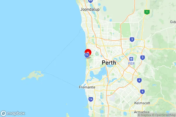
City Beach Suburbs & Region, City Beach Map & Postcodes
City Beach Suburbs & Region, City Beach Map & Postcodes in City Beach, Stirling, Perth North West, WA, AU
City Beach Region
Region Name
City Beach (WA, AU)City Beach Area
9.81 square kilometers (9.81 ㎢)Postal Codes
6015 (In total, there are 1 postcodes in City Beach.)City Beach Introduction
City Beach is a suburb of Perth, the capital city of Western Australia, located 10 kilometers north of Perth's central business district (CBD). It is a popular beach destination and is known for its wide sandy beaches, clear waters, and stunning sunsets. The suburb has a population of around 20,000 people and is home to a variety of residential properties, including apartments, townhouses, and beachfront homes. City Beach has a relaxed and laid-back atmosphere and is popular with families, surfers, and beachgoers alike. The suburb is also home to a number of cafes, restaurants, and retail stores, as well as a community center and a golf course.Australia State
City or Big Region
Greater Capital City
Greater Perth (5GPER)District or Regional Area
Suburb Name
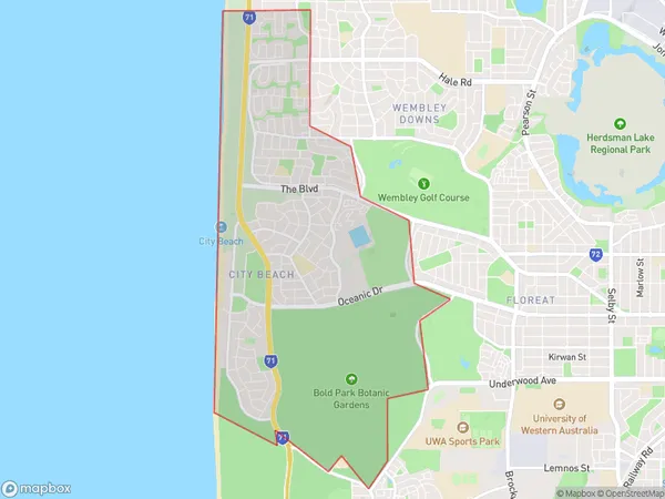
City Beach Region Map

City Beach Postcodes / Zip Codes
City Beach Suburbs
City Beach full address
City Beach, Stirling, Perth North West, Western Australia, WA, Australia, SaCode: 503011030Country
City Beach, Stirling, Perth North West, Western Australia, WA, Australia, SaCode: 503011030
City Beach Suburbs & Region, City Beach Map & Postcodes has 0 areas or regions above, and there are 1 City Beach suburbs below. The sa2code for the City Beach region is 503011030. Its latitude and longitude coordinates are -31.9393,115.763. City Beach area belongs to Australia's greater capital city Greater Perth.
City Beach Suburbs & Localities
1. City Beach
