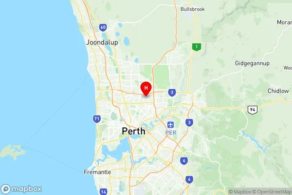
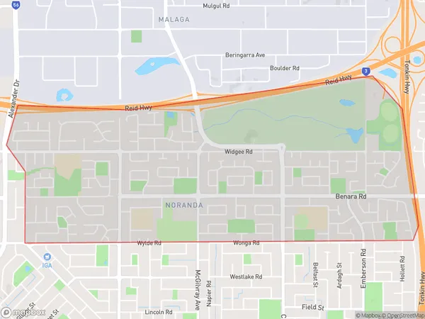
Noranda Suburbs & Region, Noranda Map & Postcodes
Noranda Suburbs & Region, Noranda Map & Postcodes in Noranda, Stirling, Perth North West, WA, AU
Noranda Region
Region Name
Noranda (WA, AU)Noranda Area
4.94 square kilometers (4.94 ㎢)Postal Codes
6062 (In total, there are 1 postcodes in Noranda.)Noranda Introduction
Noranda is a suburb of Perth, the capital city of Western Australia, located 13 kilometers north-east of Perth's central business district (CBD). It is part of the City of Stirling local government area. Noranda was named after the Noranda iron ore mine, which was established in the area in 1902. The suburb has a population of around 10,000 people and is known for its historic mining heritage and scenic surroundings. It is surrounded by lush green parks and reserves, including the Noranda Reserve, which is a popular spot for picnics and outdoor activities. The suburb also has a variety of shopping centers, including the Noranda Village Shopping Centre, which includes a supermarket, specialty stores, and cafes. Noranda is well-connected to the rest of Perth via public transport, with buses and trains running regularly to the CBD. The suburb is also home to several medical facilities, including the Noranda Medical Centre and the Noranda Private Hospital.Australia State
City or Big Region
Greater Capital City
Greater Perth (5GPER)District or Regional Area
Suburb Name
Noranda Region Map

Noranda Postcodes / Zip Codes
Noranda Suburbs
Noranda full address
Noranda, Stirling, Perth North West, Western Australia, WA, Australia, SaCode: 504011048Country
Noranda, Stirling, Perth North West, Western Australia, WA, Australia, SaCode: 504011048
Noranda Suburbs & Region, Noranda Map & Postcodes has 0 areas or regions above, and there are 1 Noranda suburbs below. The sa2code for the Noranda region is 504011048. Its latitude and longitude coordinates are -31.8754,115.896. Noranda area belongs to Australia's greater capital city Greater Perth.
Noranda Suburbs & Localities
1. Noranda
