Floreat Suburbs & Region, Floreat Map & Postcodes
Floreat Suburbs & Region, Floreat Map & Postcodes in Floreat, Stirling, Perth North West, WA, AU
Floreat Region
Region Name
Floreat (WA, AU)Floreat Area
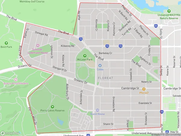
4.42 square kilometers (4.42 ㎢)Postal Codes
6014 (In total, there are 1 postcodes in Floreat.)Floreat Introduction
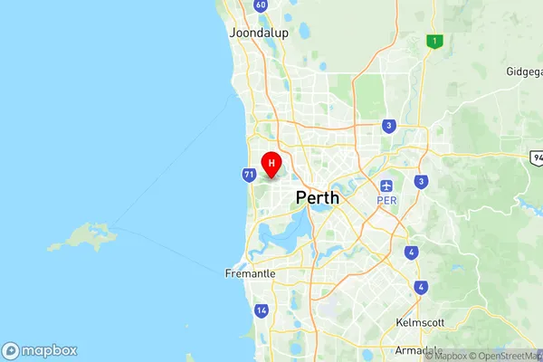
Floreat is a suburb of Perth, the capital city of Western Australia, located 6 kilometers north-west of Perth's central business district (CBD). It is part of the City of Perth local government area. The suburb was named after the Roman goddess of spring and was developed in the 1920s as a residential area for the growing middle class. Floreat is known for its well-preserved colonial architecture, including many beautiful homes and gardens. It is also home to several parks and recreational facilities, including the Floreat Park Golf Course and the Floreat Beach. The suburb has a diverse population and is home to many families, young professionals, and retirees. It is surrounded by other popular suburbs, including Wembley, Wembley Downs, and City Beach.Australia State
City or Big Region
Greater Capital City
Greater Perth (5GPER)District or Regional Area
Suburb Name
Floreat Region Map

Floreat Postcodes / Zip Codes
Floreat Suburbs
Floreat full address
Floreat, Stirling, Perth North West, Western Australia, WA, Australia, SaCode: 503011033Country
Floreat, Stirling, Perth North West, Western Australia, WA, Australia, SaCode: 503011033
Floreat Suburbs & Region, Floreat Map & Postcodes has 0 areas or regions above, and there are 2 Floreat suburbs below. The sa2code for the Floreat region is 503011033. Its latitude and longitude coordinates are -31.9344,115.791. Floreat area belongs to Australia's greater capital city Greater Perth.
Floreat Suburbs & Localities
1. Floreat
2. Floreat Forum
