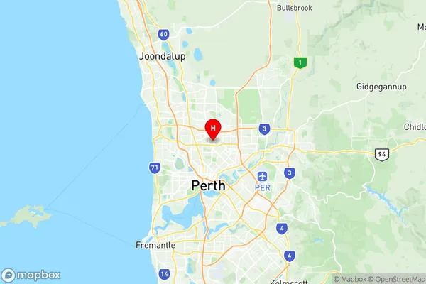
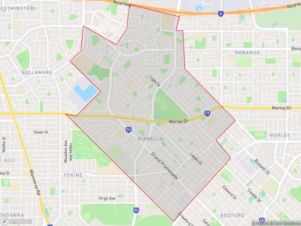
Dianella Suburbs & Region, Dianella Map & Postcodes
Dianella Suburbs & Region, Dianella Map & Postcodes in Dianella, Stirling, Perth North West, WA, AU
Dianella Region
Region Name
Dianella (WA, AU)Postal Codes
6059 (In total, there are 1 postcodes in Dianella.)Dianella Introduction
Dianella is a suburb in the City of Stirling, located 10 kilometers northwest of Perth's central business district (CBD). It is part of the City of Stirling's northern corridor and is bordered by the suburbs of Wembley, Joondalup, Craigie, and Kingsley. The suburb was named after the Dianella plant, which is native to the area and is known for its vibrant pink flowers. Dianella is a well-established suburb with a variety of housing options, including single-family homes, townhouses, and apartments. The suburb has a number of parks and recreational facilities, including the Dianella Nature Reserve, which is a popular spot for picnics and walks. The suburb also has a shopping center, a medical center, and a number of schools, including St Mary's Anglican Girls School and Dianella Primary School. Dianella is a convenient location for those who work in the Perth CBD, with easy access to the Perth-Perth freeway and public transportation. The suburb is also home to a number of major employers, including BHP Billiton, Rio Tinto, and Wesfarmers.Australia State
City or Big Region
District or Regional Area
Suburb Name
Dianella Region Map

Dianella Postcodes / Zip Codes
Dianella Suburbs
Dianella full address
Dianella, Stirling, Perth North West, Western Australia, WA, Australia, SaCode: 505021086Country
Dianella, Stirling, Perth North West, Western Australia, WA, Australia, SaCode: 505021086
Dianella Suburbs & Region, Dianella Map & Postcodes has 0 areas or regions above, and there are 1 Dianella suburbs below. The sa2code for the Dianella region is 505021086. Its latitude and longitude coordinates are -31.8844,115.87.
Dianella Suburbs & Localities
1. Dianella
