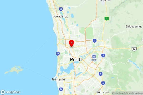
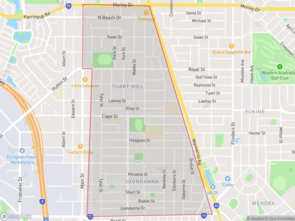
Tuart Hill Joondanna Suburbs & Region, Tuart Hill Joondanna Map & Postcodes
Tuart Hill Joondanna Suburbs & Region, Tuart Hill Joondanna Map & Postcodes in Tuart Hill Joondanna, Stirling, Perth North West, WA, AU
Tuart Hill Joondanna Region
Region Name
Tuart Hill Joondanna (WA, AU)Tuart Hill Joondanna Area
3.63 square kilometers (3.63 ㎢)Postal Codes
6060, and from 6937 to 6940 (In total, there are 5 postcodes in Tuart Hill Joondanna.)Tuart Hill Joondanna Introduction
Tuart Hill Joondanna is a suburb located in the City of Joondanna of Western Australia. It is situated approximately 11 kilometers north-east of Perth's central business district (CBD) and is part of the City of Joondanna local government area. The suburb is named after the Tuart Hill conservation area, which is located within its boundaries. Tuart Hill Joondanna is a relatively new suburb, with most of the development occurring in the late 1990s and early 2000s. The suburb is characterized by a mix of residential and commercial properties, with a large number of apartments and townhouses. There are also several parks and recreational facilities, including the Tuart Hill Community Centre and the Joondanna Golf Course. The suburb is well-connected to the rest of Perth, with easy access to the Perth freeway and public transportation. It is also located close to several shopping centers, including the Joondanna Shopping Centre and the Westfield Whitford City shopping complex. In terms of demographics, Tuart Hill Joondanna is a diverse suburb with a mix of different age groups and cultural backgrounds. The population is estimated to be around 6,000 people, with a majority of residents being of Australian descent. There is also a significant population of immigrants from countries such as China, India, and Vietnam. Overall, Tuart Hill Joondanna is a popular suburb with aAustralia State
City or Big Region
Greater Capital City
Greater Perth (5GPER)District or Regional Area
Suburb Name
Tuart Hill Joondanna Region Map

Tuart Hill Joondanna Postcodes / Zip Codes
Tuart Hill Joondanna Suburbs
Tuart Hill Joondanna full address
Tuart Hill Joondanna, Stirling, Perth North West, Western Australia, WA, Australia, SaCode: 505021095Country
Tuart Hill Joondanna, Stirling, Perth North West, Western Australia, WA, Australia, SaCode: 505021095
Tuart Hill Joondanna Suburbs & Region, Tuart Hill Joondanna Map & Postcodes has 0 areas or regions above, and there are 6 Tuart Hill Joondanna suburbs below. The sa2code for the Tuart Hill Joondanna region is 505021095. Its latitude and longitude coordinates are -31.8966,115.836. Tuart Hill Joondanna area belongs to Australia's greater capital city Greater Perth.
Tuart Hill Joondanna Suburbs & Localities
1. Joondanna
2. Tuart Hill
3. Tuart Hill
4. Tuart Hill
5. Tuart Hill
6. Tuart Hill
