Joondanna Area, Joondanna Postcode(6060) & Map in Joondanna, Perth - North West, WA
Joondanna Area, Joondanna Postcode(6060) & Map in Joondanna, Perth - North West, WA, AU, Postcode: 6060
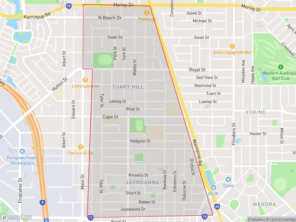
Joondanna, Tuart Hill - Joondanna, Stirling, Perth - North West, Western Australia, Australia, 6060
Joondanna Postcode
Area Name
JoondannaJoondanna Suburb Area Map (Polygon)
Joondanna Introduction
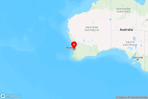
Joondanna is a suburb of Perth, Western Australia, located 7 kilometers north-northwest of the central business district. It is known for its diverse community, including a large number of immigrants and students. The suburb has a variety of shops, restaurants, and parks, and is well-served by public transportation.State Name
City or Big Region
District or Regional Area
Suburb Name
Joondanna Region Map
Country
Main Region in AU
R2Coordinates
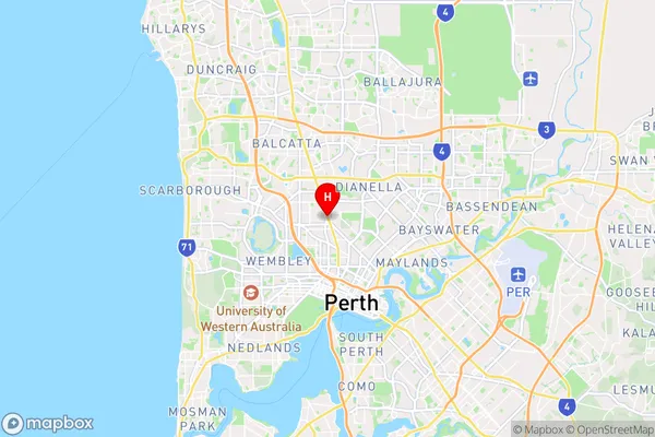
-31.9108876,115.8457182 (latitude/longitude)Joondanna Area Map (Street)
Longitude
115.840879Latitude
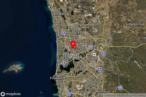
-31.903241Joondanna Suburb Map (Satellite)
Distances
The distance from Joondanna, Perth - North West, WA to AU Greater Capital CitiesSA1 Code 2011
50502109523SA1 Code 2016
50502109523SA2 Code
505021095SA3 Code
50502SA4 Code
505RA 2011
1RA 2016
1MMM 2015
1MMM 2019
1Charge Zone
W1LGA Region
StirlingLGA Code
57910Electorate
Stirling