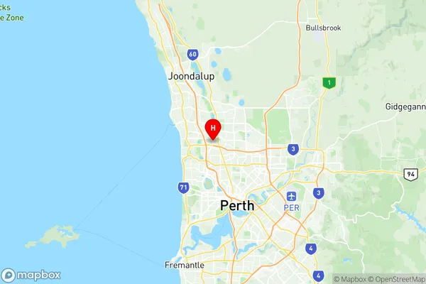
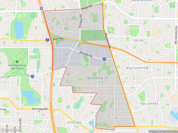
Balcatta Hamersley Suburbs & Region, Balcatta Hamersley Map & Postcodes
Balcatta Hamersley Suburbs & Region, Balcatta Hamersley Map & Postcodes in Balcatta Hamersley, Stirling, Perth North West, WA, AU
Balcatta Hamersley Region
Region Name
Balcatta Hamersley (WA, AU)Balcatta Hamersley Area
10.36 square kilometers (10.36 ㎢)Postal Codes
6021, 6022, and 6914 (In total, there are 3 postcodes in Balcatta Hamersley.)Balcatta Hamersley Introduction
Balcatta Hamersley is a suburb in the City of Stirling, located 13 kilometers northwest of Perth's central business district (CBD). It is part of the City of Stirling's northern corridor and is bordered by the Mitchell Freeway to the north, the Roe Highway to the east, the Wanneroo Road to the south, and the Joondalup railway line to the west. The suburb was named after the Hamersley Iron Mine, which operated in the area from 1894 to 1967. The mine was a major source of employment for the local community and contributed to the development of the suburb. Today, Balcatta Hamersley is a residential suburb with a mix of single-family homes, apartments, and townhouses. It has a variety of shopping centers, including the Balcatta Village Shopping Centre and the Westfield Whitford City Shopping Centre, as well as several parks and recreational facilities, including the Balcatta Reserve and the Hamersley Park Golf Course. The suburb is also home to several schools, including St Mary's Anglican Girls' School, Balcatta Senior High School, and John Tonkin College.Australia State
City or Big Region
Greater Capital City
Greater Perth (5GPER)District or Regional Area
Suburb Name
Balcatta Hamersley Region Map

Balcatta Hamersley Postcodes / Zip Codes
Balcatta Hamersley Suburbs
Balcatta Hamersley full address
Balcatta Hamersley, Stirling, Perth North West, Western Australia, WA, Australia, SaCode: 505021084Country
Balcatta Hamersley, Stirling, Perth North West, Western Australia, WA, Australia, SaCode: 505021084
Balcatta Hamersley Suburbs & Region, Balcatta Hamersley Map & Postcodes has 0 areas or regions above, and there are 3 Balcatta Hamersley suburbs below. The sa2code for the Balcatta Hamersley region is 505021084. Its latitude and longitude coordinates are -31.8515,115.814. Balcatta Hamersley area belongs to Australia's greater capital city Greater Perth.
Balcatta Hamersley Suburbs & Localities
1. Balcatta
2. Hamersley
3. Balcatta
