ZipCode 6018 Areas, AU PostCode 6018 Suburbs
Postcode 6018 Suburbs, ZipCode 6018 Areas & Regions in Stirling,WA Australia
There are at least 7 AU suburbs share the same AU PostCode 6018 Suburbs in Stirling.
Postal Code 6018 Regions
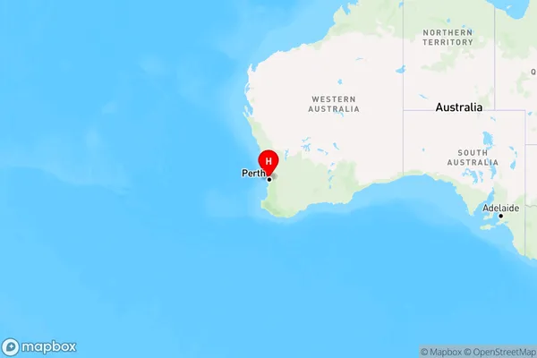
The Australia postcode 6018 regions include Innaloo - Doubleview, Karrinyup - Gwelup - Carine, Wembley Downs - Churchlands - Woodlands in the areas of Stirling, Innaloo - Doubleview, These postcode areas are all located in the state Western Australia, WA.Australia postcode 6018 is located in the state of Western Australia. It covers the suburbs of Balga, Stirling, and Girrawheen. The postcode was first introduced in 1964 and has since undergone several changes. It is a popular residential area with a mix of housing types, including apartments, houses, and townhouses. The postcode is also home to several schools, including Balga Primary School and Stirling Senior High School.
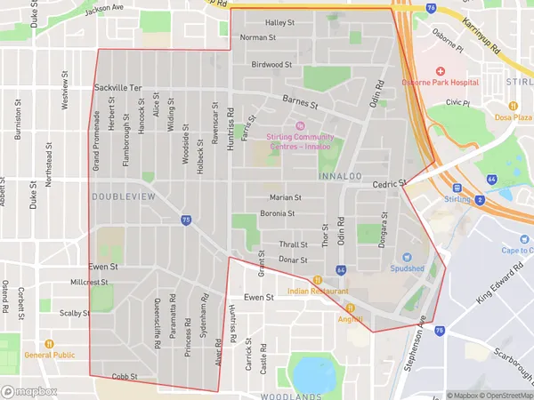
ZipCode 6018 Areas Map for Innaloo - Doubleview
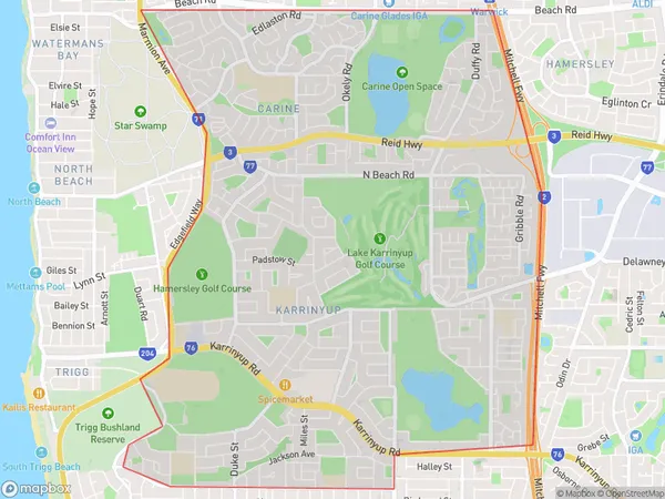
AU PostCode 6018 Suburbs Map for Karrinyup - Gwelup - Carine
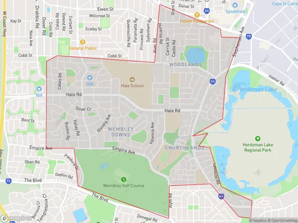
Postal Code 6018 Regions Map for Wembley Downs - Churchlands - Woodlands
AU PostCode 6018 Suburbs
AU PostCode 6018 suburbs contain Doubleview, Gwelup, Woodlands, Churchlands, Innaloo, Gwelup Dc, Karrinyup, you can check the below link to see the 7 suburbs detailed information.
AU PostCode 6018 Suburbs Map
ZipCode 6018 Areas
1. Doubleview
2. Gwelup
4. Churchlands
5. Innaloo
6. Gwelup Dc
7. Karrinyup