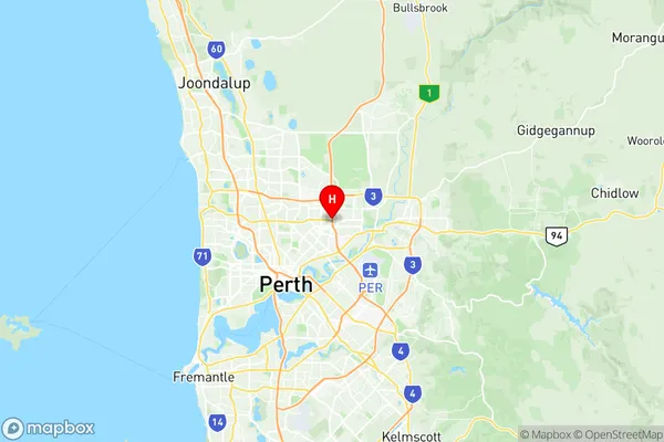
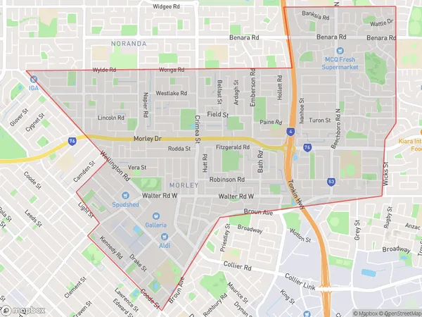
Morley Suburbs & Region, Morley Map & Postcodes
Morley Suburbs & Region, Morley Map & Postcodes in Morley, Stirling, Perth North West, WA, AU
Morley Region
Region Name
Morley (WA, AU)Morley Area
10.55 square kilometers (10.55 ㎢)Postal Codes
6062, and 6943 (In total, there are 2 postcodes in Morley.)Morley Introduction
Morley is a suburb of Perth, the capital city of Western Australia, located 10 kilometers north-east of the Perth central business district (CBD). It is part of the City of Bayswater and is named after John Morley, the British Prime Minister who served in the 19th century. Morley is a diverse suburb with a mix of residential, commercial, and industrial areas. It is home to several major shopping centers, including Morley Galleria and Lakelands Shopping City, as well as several parks and recreational facilities. The suburb also has a large population of students, due to the presence of several universities and colleges, including the University of Western Australia and Curtin University.Australia State
City or Big Region
Greater Capital City
Greater Perth (5GPER)District or Regional Area
Suburb Name
Morley Region Map

Morley Postcodes / Zip Codes
Morley Suburbs
Morley full address
Morley, Stirling, Perth North West, Western Australia, WA, Australia, SaCode: 504011047Country
Morley, Stirling, Perth North West, Western Australia, WA, Australia, SaCode: 504011047
Morley Suburbs & Region, Morley Map & Postcodes has 0 areas or regions above, and there are 2 Morley suburbs below. The sa2code for the Morley region is 504011047. Its latitude and longitude coordinates are -31.889,115.918. Morley area belongs to Australia's greater capital city Greater Perth.
Morley Suburbs & Localities
1. Morley
2. Morley
