Glendalough Area, Glendalough Postcode(6016) & Map in Glendalough, Perth - Inner, WA
Glendalough Area, Glendalough Postcode(6016) & Map in Glendalough, Perth - Inner, WA, AU, Postcode: 6016
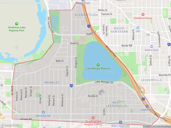
Glendalough, Wembley - West Leederville - Glendalough, Perth City, Perth - Inner, Western Australia, Australia, 6016
Glendalough Postcode
Area Name
GlendaloughGlendalough Suburb Area Map (Polygon)
Glendalough Introduction
Glendalough is a suburb of Perth, Western Australia, located 12 kilometers east of the city center. It is known for its natural beauty, including the Glendalough National Park, which features scenic lakes, forests, and walking trails. The suburb is also home to several schools, including Glendalough Primary School and Glendalough Senior High School.State Name
City or Big Region
District or Regional Area
Suburb Name
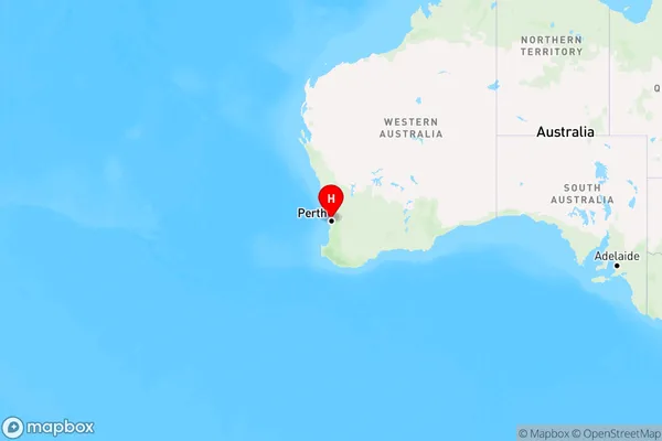
Glendalough Region Map
Country
Main Region in AU
R2Coordinates
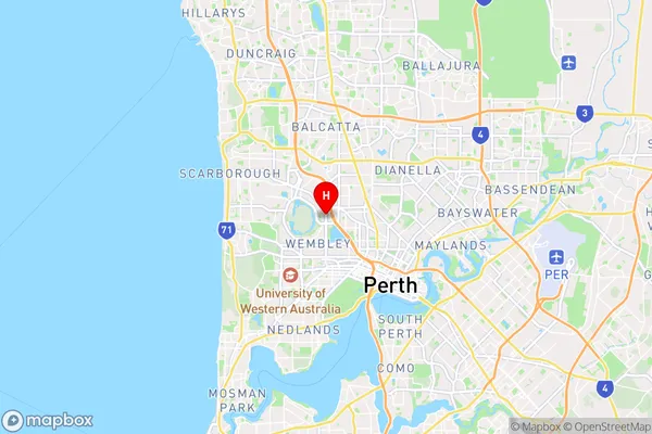
-31.9192332,115.8200294 (latitude/longitude)Glendalough Area Map (Street)
Longitude
115.831181Latitude
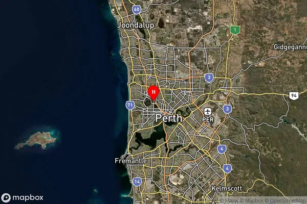
-31.921222Glendalough Suburb Map (Satellite)
Distances
The distance from Glendalough, Perth - Inner, WA to AU Greater Capital CitiesSA1 Code 2011
50302104302SA1 Code 2016
50302104340SA2 Code
503021043SA3 Code
50302SA4 Code
503RA 2011
1RA 2016
1MMM 2015
1MMM 2019
1Charge Zone
W1LGA Region
VincentLGA Code
58570Electorate
Perth