Balga Area, Balga Postcode(6061) & Map in Balga, Perth - North West, WA
Balga Area, Balga Postcode(6061) & Map in Balga, Perth - North West, WA, AU, Postcode: 6061
Balga, Balga - Mirrabooka, Stirling, Perth - North West, Western Australia, Australia, 6061
Balga Postcode
Area Name
BalgaBalga Suburb Area Map (Polygon)

Balga Introduction
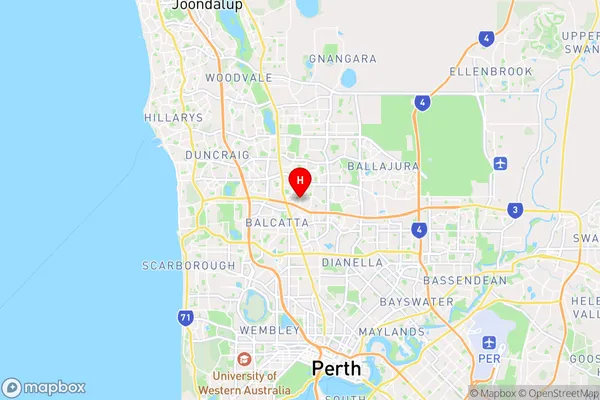
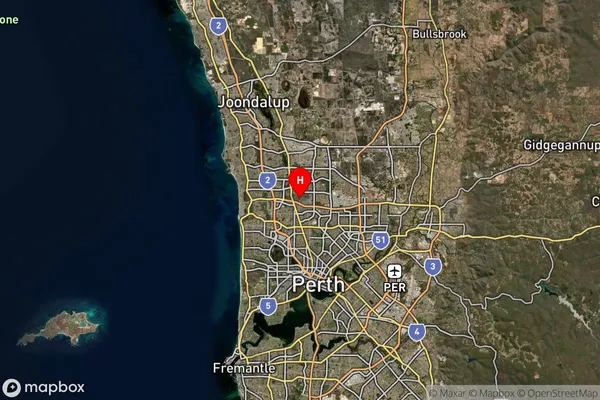
Balga is a suburb of Perth, Western Australia, located 12 kilometers north of the central business district. It is known for its large shopping center, Balga Plaza, and its proximity to the Perth Airport. The suburb has a diverse population and a variety of housing options, including apartments, houses, and townhouses.State Name
City or Big Region
District or Regional Area
Suburb Name
Balga Region Map

Country
Main Region in AU
R2Coordinates
-31.8576435,115.8357889 (latitude/longitude)Balga Area Map (Street)
Longitude
115.843478Latitude
-31.864113Balga Suburb Map (Satellite)
Distances
The distance from Balga, Perth - North West, WA to AU Greater Capital CitiesSA1 Code 2011
50502108515SA1 Code 2016
50502108515SA2 Code
505021085SA3 Code
50502SA4 Code
505RA 2011
1RA 2016
1MMM 2015
1MMM 2019
1Charge Zone
W1LGA Region
StirlingLGA Code
57910Electorate
Stirling