Carabooda Pinjar Suburbs & Region, Carabooda Pinjar Map & Postcodes
Carabooda Pinjar Suburbs & Region, Carabooda Pinjar Map & Postcodes in Carabooda Pinjar, Wanneroo, Perth North West, WA, AU
Carabooda Pinjar Region
Region Name
Carabooda Pinjar (WA, AU)Carabooda Pinjar Area
371.09 square kilometers (371.09 ㎢)Postal Codes
6032, 6033, 6035, and 6078 (In total, there are 4 postcodes in Carabooda Pinjar.)Carabooda Pinjar Introduction
Carabooda Pinjar is a suburb of Perth, the capital city of Western Australia, located in the City of Perth local government area. It is named after the Carabooda Aboriginal community, which is part of the Noongar people. The suburb is located approximately 16 kilometers north-west of Perth's central business district and is bordered by the Mitchell Freeway to the north, the Roe Highway to the east, and the Wanneroo Road to the south. Carabooda Pinjar has a mix of residential and commercial properties, with several shopping centers, schools, and parks in the area. The suburb also has a large population of indigenous people, with many residents from the Carabooda Aboriginal community. The community is known for its strong cultural heritage and is home to the Carabooda Cultural Centre, which provides cultural education and programs to the local community. The suburb has a number of recreational facilities, including the Carabooda Park and Recreation Centre, which features a swimming pool, tennis courts, and a basketball court. There are also several walking and cycling paths in the area, including the Mitchell Freeway Linear Park, which runs along the Mitchell Freeway. Carabooda Pinjar is a relatively safe suburb, with a low crime rate compared to other parts of Perth. However, like any other suburb, there are still some safety concerns, particularly around drug and alcohol abuse and domestic violence. TheAustralia State
City or Big Region
Greater Capital City
Greater Perth (5GPER)District or Regional Area
Suburb Name
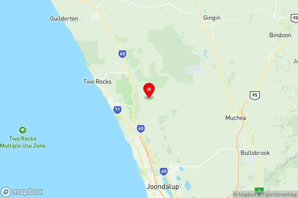
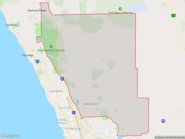
Carabooda Pinjar Region Map

Carabooda Pinjar Postcodes / Zip Codes
Carabooda Pinjar Suburbs
Carabooda Pinjar full address
Carabooda Pinjar, Wanneroo, Perth North West, Western Australia, WA, Australia, SaCode: 505031256Country
Carabooda Pinjar, Wanneroo, Perth North West, Western Australia, WA, Australia, SaCode: 505031256
Carabooda Pinjar Suburbs & Region, Carabooda Pinjar Map & Postcodes has 0 areas or regions above, and there are 4 Carabooda Pinjar suburbs below. The sa2code for the Carabooda Pinjar region is 505031256. Its latitude and longitude coordinates are -31.5365,115.734. Carabooda Pinjar area belongs to Australia's greater capital city Greater Perth.
Carabooda Pinjar Suburbs & Localities
1. Pinjar
2. Nowergup
3. Carabooda
4. Yanchep
