Girrawheen Suburbs & Region, Girrawheen Map & Postcodes
Girrawheen Suburbs & Region, Girrawheen Map & Postcodes in Girrawheen, Wanneroo, Perth North West, WA, AU
Girrawheen Region
Region Name
Girrawheen (WA, AU)Girrawheen Area
4.09 square kilometers (4.09 ㎢)Postal Codes
6064 (In total, there are 1 postcodes in Girrawheen.)Girrawheen Introduction
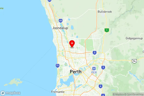
Girrawheen is a suburb of Perth, the capital city of Western Australia, and is located in the City of Stirling. It is named after the Girrawheen Creek, which flows through the suburb and is a tributary of the Swan River. Girrawheen is a diverse suburb with a mix of residential and commercial properties. It is home to a large number of cultural and recreational facilities, including the Girrawheen Shopping Centre, the Girrawheen Library, and the Girrawheen Community Centre. The suburb is also well-known for its beautiful parks and gardens, including the Girrawheen Parklands, which features a playground, walking trails, and a picnic area. Girrawheen is located approximately 10 kilometers northwest of Perth's central business district and is easily accessible by public transport. It is a popular suburb for families and young professionals due to its affordable housing, good schools, and proximity to the city's amenities.Australia State
City or Big Region
Greater Capital City
Greater Perth (5GPER)District or Regional Area
Suburb Name
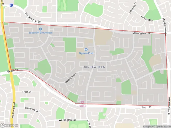
Girrawheen Region Map

Girrawheen Postcodes / Zip Codes
Girrawheen Suburbs
Girrawheen full address
Girrawheen, Wanneroo, Perth North West, Western Australia, WA, Australia, SaCode: 505031102Country
Girrawheen, Wanneroo, Perth North West, Western Australia, WA, Australia, SaCode: 505031102
Girrawheen Suburbs & Region, Girrawheen Map & Postcodes has 0 areas or regions above, and there are 1 Girrawheen suburbs below. The sa2code for the Girrawheen region is 505031102. Its latitude and longitude coordinates are -31.8407,115.84. Girrawheen area belongs to Australia's greater capital city Greater Perth.
Girrawheen Suburbs & Localities
1. Girrawheen
