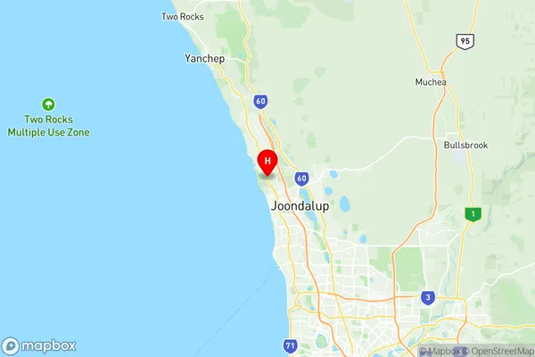
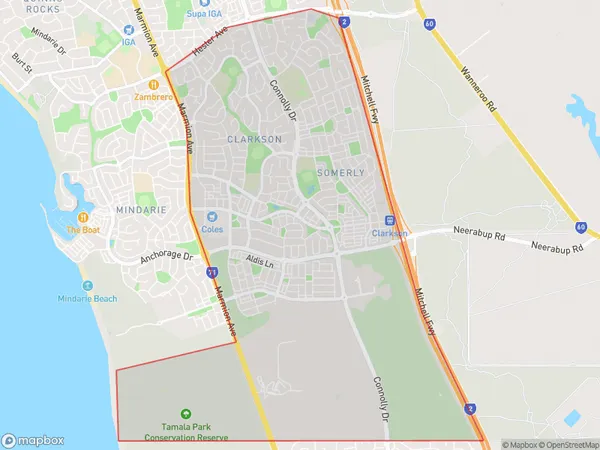
Clarkson Suburbs & Region, Clarkson Map & Postcodes
Clarkson Suburbs & Region, Clarkson Map & Postcodes in Clarkson, Wanneroo, Perth North West, WA, AU
Clarkson Region
Region Name
Clarkson (WA, AU)Clarkson Area
10.76 square kilometers (10.76 ㎢)Postal Codes
6030 (In total, there are 1 postcodes in Clarkson.)Clarkson Introduction
Clarkson is a suburb of Perth, the capital city of Western Australia, and is located in the City of Perth local government area. It is situated approximately 10 kilometers north-west of Perth's central business district (CBD) and is part of the northern coastal region of the city. Clarkson is a well-established suburb with a rich history. It was named after the Scottish settler John Clarkson, who arrived in Western Australia in 1839 and was the first European to explore the area. The suburb has a diverse population and is home to a mix of families, young professionals, and retirees. Clarkson offers a variety of amenities and facilities to its residents. There are several parks and recreational facilities, including the Clarkson Community Centre, which features a swimming pool, gym, and community hall. The suburb also has a number of shopping centers, including the Clarkson Village Shopping Centre, which includes a supermarket, specialty stores, and cafes. Clarkson is well-connected to other parts of Perth via public transport. The suburb is served by several bus routes, including the 920 and 940 buses, which provide access to the CBD and other surrounding areas. The suburb is also close to the Perth Train Station, which provides direct services to the city and other regional destinations. In conclusion, Clarkson is a vibrant and well-established suburb of Perth with a rich history and a diverse population. It offers a variety ofAustralia State
City or Big Region
Greater Capital City
Greater Perth (5GPER)District or Regional Area
Suburb Name
Clarkson Region Map

Clarkson Postcodes / Zip Codes
Clarkson Suburbs
Clarkson full address
Clarkson, Wanneroo, Perth North West, Western Australia, WA, Australia, SaCode: 505031101Country
Clarkson, Wanneroo, Perth North West, Western Australia, WA, Australia, SaCode: 505031101
Clarkson Suburbs & Region, Clarkson Map & Postcodes has 0 areas or regions above, and there are 2 Clarkson suburbs below. The sa2code for the Clarkson region is 505031101. Its latitude and longitude coordinates are -31.7074,115.722. Clarkson area belongs to Australia's greater capital city Greater Perth.
Clarkson Suburbs & Localities
1. Clarkson
2. Tamala Park
