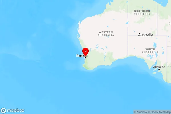
Melaleuca Area, Melaleuca Postcode(6079) & Map in Melaleuca, Perth - North East, WA
Melaleuca Area, Melaleuca Postcode(6079) & Map in Melaleuca, Perth - North East, WA, AU, Postcode: 6079
Melaleuca, Melaleuca - Lexia, Swan, Perth - North East, Western Australia, Australia, 6079
Melaleuca Postcode
Area Name
MelaleucaMelaleuca Suburb Area Map (Polygon)

Melaleuca Introduction
Melaleuca is a suburb in the City of Stirling, located 16 kilometers northeast of Perth, the state capital of Western Australia. It is part of the City of Stirling's North East Region. The suburb was named after the Melaleuca tree, which is native to the area and is known for its medicinal properties. The suburb has a population of around 4,000 people and is home to a variety of amenities, including a shopping center, a medical center, and a number of parks and recreational facilities.State Name
City or Big Region
District or Regional Area
Suburb Name
Melaleuca Region Map

Country
Main Region in AU
R2Coordinates
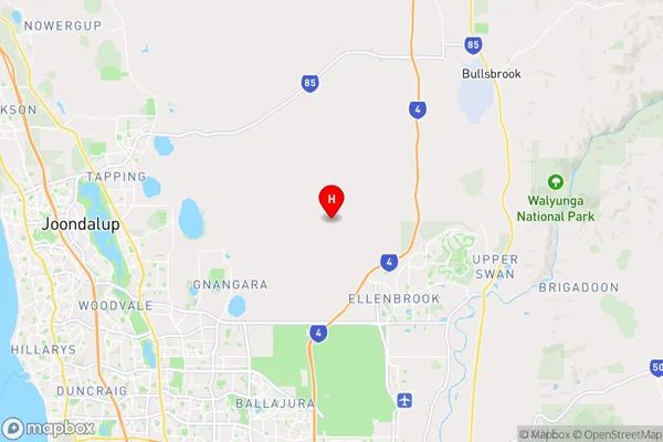
-31.7416,115.928 (latitude/longitude)Melaleuca Area Map (Street)

Longitude
115.845329Latitude
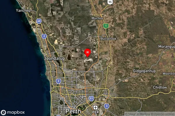
-31.69444Melaleuca Suburb Map (Satellite)

Distances
The distance from Melaleuca, Perth - North East, WA to AU Greater Capital CitiesSA1 Code 2011
50403106401SA1 Code 2016
50403106401SA2 Code
504031064SA3 Code
50403SA4 Code
504RA 2011
1RA 2016
1MMM 2015
1MMM 2019
1Charge Zone
W1LGA Region
WannerooLGA Code
58760Electorate
Pearce