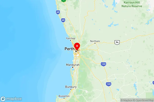
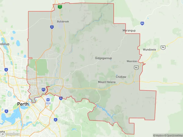
Perth North East Suburbs & Region, Perth North East Map & Postcodes
Perth North East Suburbs & Region, Perth North East Map & Postcodes in Perth North East, WA, AU
Perth North East Region
Region Name
Perth North East (WA, AU)Perth North East Area
1762 square kilometers (1,762 ㎢)Postal Codes
6051, 6053, 6054, 6063, from 6066 to 6074, 6081, 6082, 6090, 6556, 6931, 6933, 6934, 6942, and 6944 (In total, there are 22 postcodes in Perth North East.)Perth North East Introduction
Perth North East is a suburb of Perth, the capital city of Western Australia, and is located in the City of Stirling. It is situated approximately 12 kilometers northeast of Perth's central business district (CBD) and is part of the City of Stirling's northern suburbs. The suburb is named after the North East Railway, which was built through it in the late 1890s. The railway line was later extended to Perth and became part of the Western Australian Railways network. Perth North East is a relatively new suburb, with most of the development occurring in the 1990s and 2000s. The suburb is characterized by a mix of residential and commercial properties, with several shopping centers, parks, and recreational facilities. The suburb is home to a diverse population, with a mix of families, young professionals, and retirees. It is also known for its excellent transport links, with several bus routes and the North East Link freeway providing easy access to the CBD and other parts of the city. In terms of education, Perth North East is served by several primary schools, including North East Primary School and Stirling Primary School, as well as a number of secondary schools, including John Wollaston College and Mount Lawley Senior High School. Overall, Perth North East is a well-established and popular suburb with a bright future. Its convenient location, modern infrastructure, and diverse communityAustralia State
City or Big Region
Perth North East Region Map

Perth North East Postcodes / Zip Codes
Perth North East Suburbs
Bayswater Bassendean
Perth North East full address
Perth North East, Western Australia, WA, Australia, SaCode: 504Country
Perth North East, Western Australia, WA, Australia, SaCode: 504
Perth North East Suburbs & Region, Perth North East Map & Postcodes has 3 areas or regions above, and there are 43 Perth North East suburbs below. The sa4code for the Perth North East region is 504. Its latitude and longitude coordinates are -31.9383,115.902.
Perth North East Suburbs & Localities
1. Ashfield
2. Bassendean Dc
3. Bassendean
4. Bayswater
5. Maylands
6. Bailup
7. Chidlow
8. Hovea
9. Darlington
10. Sawyers Valley
11. Mundaring Dc
12. Parkerville
13. Mahogany Creek
14. Ballajura
15. Cullacabardee
16. Beechboro
17. Whiteman
18. Aveley
19. Malaga
