Hovea Area, Hovea Postcode(6071) & Map in Hovea, Perth - North East, WA
Hovea Area, Hovea Postcode(6071) & Map in Hovea, Perth - North East, WA, AU, Postcode: 6071
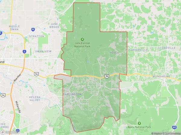
Hovea, Glen Forrest - Darlington, Mundaring, Perth - North East, Western Australia, Australia, 6071
Hovea Postcode
Area Name
HoveaHovea Suburb Area Map (Polygon)
Hovea Introduction
Hovea Perth - North East, WA, AU is a suburb of Perth, Western Australia, located 18 kilometers northeast of the central business district. It is known for its natural beauty, including parks, gardens, and the Swan River. The suburb has a population of approximately 10,000 people and is home to a variety of businesses, including retail stores, restaurants, and healthcare facilities.State Name
City or Big Region
District or Regional Area
Suburb Name
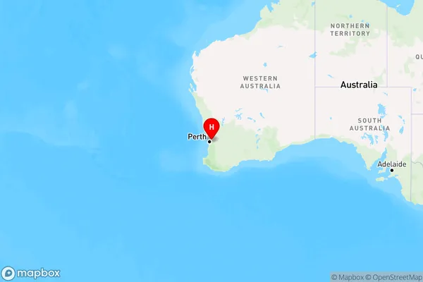
Hovea Region Map
Country
Main Region in AU
R2Coordinates
-31.8757092,116.112542 (latitude/longitude)Hovea Area Map (Street)
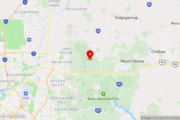
Longitude
116.100432Latitude
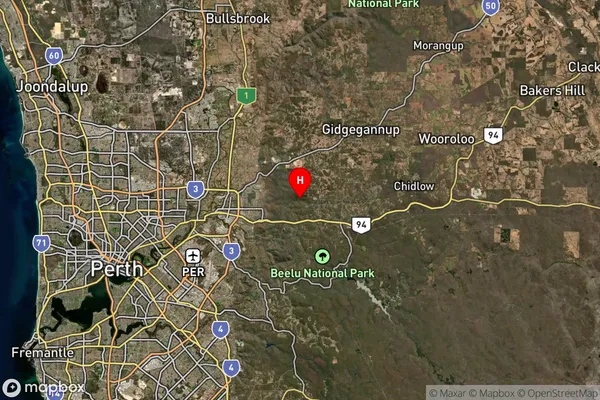
-31.889087Hovea Suburb Map (Satellite)
Distances
The distance from Hovea, Perth - North East, WA to AU Greater Capital CitiesSA1 Code 2011
50402105012SA1 Code 2016
50402105012SA2 Code
504021050SA3 Code
50402SA4 Code
504RA 2011
1RA 2016
1MMM 2015
1MMM 2019
1Charge Zone
W1LGA Region
KalamundaLGA Code
54200Electorate
Hasluck