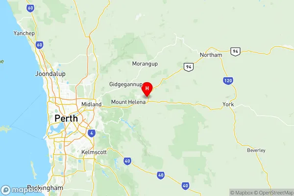
Mundaring Suburbs & Region, Mundaring Map & Postcodes
Mundaring Suburbs & Region, Mundaring Map & Postcodes in Mundaring, Perth North East, WA, AU
Mundaring Region
Region Name
Mundaring (WA, AU)Mundaring Area
685.43 square kilometers (685.43 ㎢)Postal Codes
from 6070 to 6074, 6081, and 6556 (In total, there are 7 postcodes in Mundaring.)Mundaring Introduction
Mundaring is a town in the Shire of Mundaring, 65 km east of Perth, Western Australia, on the Great Eastern Highway. It is a gateway to the Darling Range and is surrounded by farmland and natural attractions. The town has a population of around 2,000 people and is known for its historic stone buildings and scenic surroundings. The Mundaring Weir is a popular swimming and picnic spot, and the Mundaring Power Station is a major source of electricity for the region. The town also has a golf course, a bowling club, and a community hall.Australia State
City or Big Region
District or Regional Area
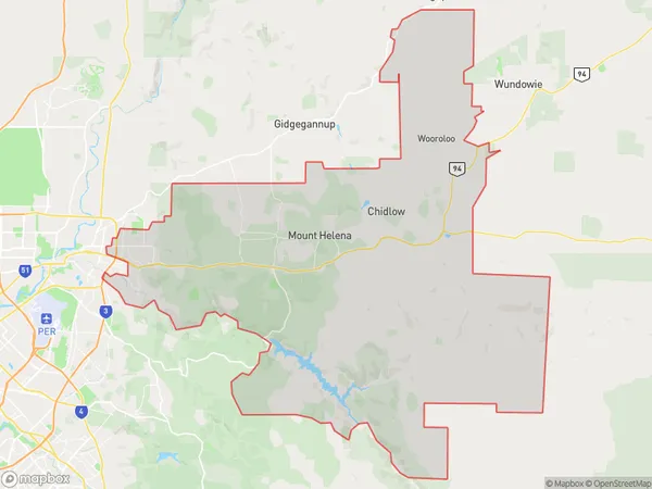
Mundaring Region Map

Mundaring Postcodes / Zip Codes
Mundaring Suburbs
Glen Forrest Darlington
Mundaring full address
Mundaring, Perth North East, Western Australia, WA, Australia, SaCode: 50402Country
Mundaring, Perth North East, Western Australia, WA, Australia, SaCode: 50402
Mundaring Suburbs & Region, Mundaring Map & Postcodes has 1 areas or regions above, and there are 15 Mundaring suburbs below. The sa3code for the Mundaring region is 50402. Its latitude and longitude coordinates are -31.859,116.314.
Mundaring Suburbs & Localities
1. Hovea
2. Mundaring Dc
3. Mundaring Weir
4. Parkerville
5. Mundaring
6. Darlington
7. Glen Forrest
8. Mahogany Creek
9. Sawyers Valley
10. Stoneville
11. Chidlow
12. Malmalling
13. The Lakes
14. Gorrie
15. Beechina
