Mundaring Weir Area, Mundaring Weir Postcode(6073) & Map in Mundaring Weir, Perth - North East, WA
Mundaring Weir Area, Mundaring Weir Postcode(6073) & Map in Mundaring Weir, Perth - North East, WA, AU, Postcode: 6073
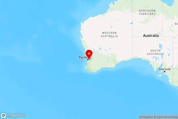
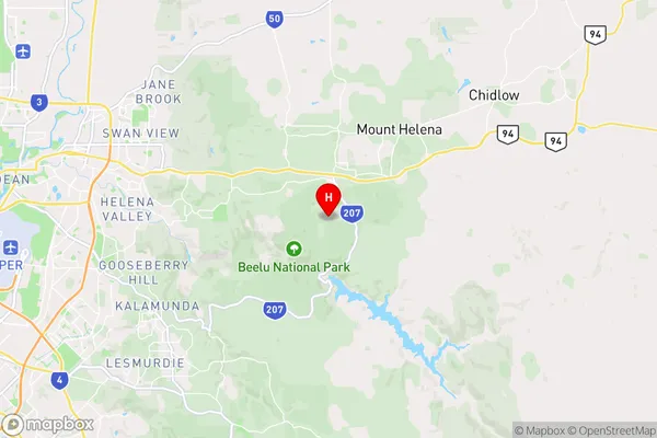
Mundaring Weir, Mundaring, Mundaring, Perth - North East, Western Australia, Australia, 6073
Mundaring Weir Postcode
Area Name
Mundaring WeirMundaring Weir Suburb Area Map (Polygon)

Mundaring Weir Introduction
Mundaring Weir is a hydroelectric power station located in Perth, Western Australia. It was completed in 1933 and has a capacity of 1,260 megawatts. The weir is part of the Mundaring Weir Complex, which includes the Mundaring Weir Power Station, the Mundaring Weir Aqueduct, and the Mundaring Weir Bridge.State Name
City or Big Region
District or Regional Area
Suburb Name
Mundaring Weir Region Map
Country
Main Region in AU
R2Coordinates
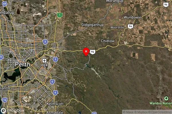
-31.9256,116.165 (latitude/longitude)Mundaring Weir Area Map (Street)
Longitude
116.28143Latitude
-31.949349Mundaring Weir Suburb Map (Satellite)
Distances
The distance from Mundaring Weir, Perth - North East, WA to AU Greater Capital CitiesSA1 Code 2011
50402105305SA1 Code 2016
50402105305SA2 Code
504021053SA3 Code
50402SA4 Code
504RA 2011
1RA 2016
1MMM 2015
1MMM 2019
1Charge Zone
W1LGA Region
MundaringLGA Code
56090Electorate
Hasluck