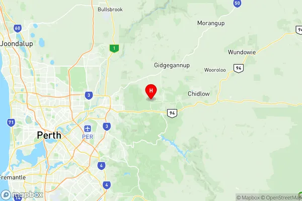
Mundaring Suburbs & Region, Mundaring Map & Postcodes
Mundaring Suburbs & Region, Mundaring Map & Postcodes in Mundaring, Swan, Perth North East, WA, AU
Mundaring Region
Region Name
Mundaring (WA, AU)Mundaring Area
118.67 square kilometers (118.67 ㎢)Postal Codes
6072, 6073, 6081, and 6082 (In total, there are 4 postcodes in Mundaring.)Mundaring Introduction
Mundaring is a town in the Shire of Mundaring, 45 km east of Perth, Western Australia, in the Great Eastern Woodlands. It is named after the Mundaring River, which flows through it. The town is a popular tourist destination and is known for its natural beauty, including the Mundaring Weir and the Karri Forest. The town has a population of around 3,000 people and is home to a number of businesses and services, including a supermarket, hotel, and golf course.Australia State
City or Big Region
Greater Capital City
Greater Perth (5GPER)District or Regional Area
Suburb Name
Mundaring Region Map

Mundaring Postcodes / Zip Codes
Mundaring Suburbs
Mundaring full address
Mundaring, Swan, Perth North East, Western Australia, WA, Australia, SaCode: 504021053Country
Mundaring, Swan, Perth North East, Western Australia, WA, Australia, SaCode: 504021053
Mundaring Suburbs & Region, Mundaring Map & Postcodes has 0 areas or regions above, and there are 7 Mundaring suburbs below. The sa2code for the Mundaring region is 504021053. Its latitude and longitude coordinates are -31.8753,116.139. Mundaring area belongs to Australia's greater capital city Greater Perth.
Mundaring Suburbs & Localities
1. Mundaring Dc
2. Mundaring Weir
3. Parkerville
4. Mount Helena
5. Mundaring
6. Mahogany Creek
7. Stoneville
