Mahogany Creek Area, Mahogany Creek Postcode(6072) & Map in Mahogany Creek, Perth - North East, WA
Mahogany Creek Area, Mahogany Creek Postcode(6072) & Map in Mahogany Creek, Perth - North East, WA, AU, Postcode: 6072
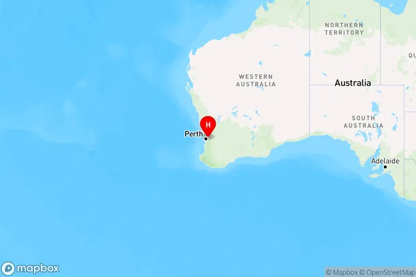
Mahogany Creek, Mundaring, Mundaring, Perth - North East, Western Australia, Australia, 6072
Mahogany Creek Postcode
Area Name
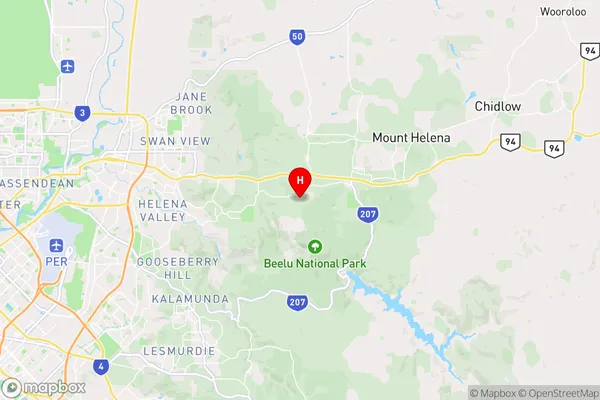
Mahogany CreekMahogany Creek Suburb Area Map (Polygon)

State Name
City or Big Region
District or Regional Area
Suburb Name
Mahogany Creek Region Map
Country
Main Region in AU
R2Coordinates
-31.9142343,116.1329888 (latitude/longitude)Mahogany Creek Area Map (Street)
Longitude
116.132045Latitude
-31.907828Mahogany Creek Elevation
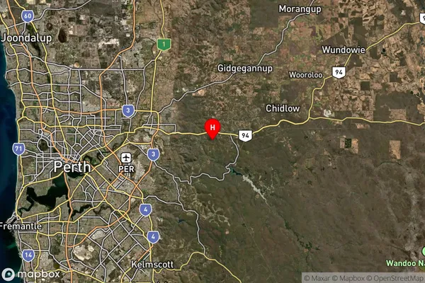
about 304.45 meters height above sea level (Altitude)Mahogany Creek Suburb Map (Satellite)
Distances
The distance from Mahogany Creek, Perth - North East, WA to AU Greater Capital CitiesSA1 Code 2011
50402105330SA1 Code 2016
50402105330SA2 Code
504021053SA3 Code
50402SA4 Code
504RA 2011
1RA 2016
1MMM 2015
1MMM 2019
1Charge Zone
W1LGA Region
MundaringLGA Code
56090Electorate
Hasluck