Bailup Area, Bailup Postcode(6082) & Map in Bailup, Perth - North East, WA
Bailup Area, Bailup Postcode(6082) & Map in Bailup, Perth - North East, WA, AU, Postcode: 6082
Bailup, Chidlow, Mundaring, Perth - North East, Western Australia, Australia, 6082
Bailup Postcode
Area Name
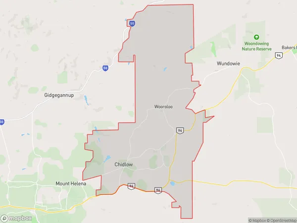
BailupBailup Suburb Area Map (Polygon)
Bailup Introduction
Bailup is a suburb of Perth, Western Australia, located in the City of Swan. It is a residential area with a mix of housing types, including apartments, houses, and townhouses. Bailup is known for its natural beauty, with many parks and reserves nearby, including the Swan River and the Darling Range. It is also close to the Perth CBD and other major amenities.State Name
City or Big Region
District or Regional Area
Suburb Name
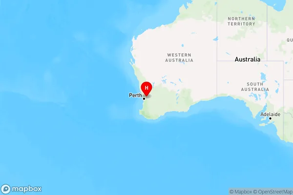
Bailup Region Map
Country
Main Region in AU
R2Coordinates
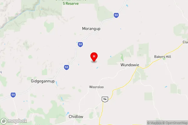
-31.7586682,116.3083941 (latitude/longitude)Bailup Area Map (Street)
Longitude
116.295706Latitude
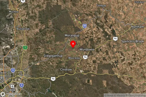
-31.738368Bailup Suburb Map (Satellite)
Distances
The distance from Bailup, Perth - North East, WA to AU Greater Capital CitiesSA1 Code 2011
50402104910SA1 Code 2016
50402104910SA2 Code
504021049SA3 Code
50402SA4 Code
504RA 2011
2RA 2016
2MMM 2015
5MMM 2019
5Charge Zone
W1LGA Region
MundaringLGA Code
56090Electorate
Hasluck