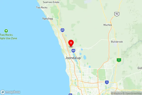
Neerabup National Park Suburbs & Region, Neerabup National Park Map & Postcodes
Neerabup National Park Suburbs & Region, Neerabup National Park Map & Postcodes in Neerabup National Park, Wanneroo, Perth North West, WA, AU
Neerabup National Park Region
Region Name
Neerabup National Park (WA, AU)Neerabup National Park Area
17.4 square kilometers (17.4 ㎢)Postal Codes
6031 (In total, there are 1 postcodes in Neerabup National Park.)Neerabup National Park Introduction
Neerabup National Park is a protected area located in the Perth North West region of Western Australia, about 25 kilometers north of Perth. The park is known for its stunning coastal scenery, including pristine beaches, rugged cliffs, and dense forests. It is home to a variety of wildlife, including kangaroos, wallabies, and birds. Visitors can enjoy hiking, camping, and fishing in the park. The park also has a visitor center with information about the park's history and wildlife.Australia State
City or Big Region
Greater Capital City
Greater Perth (5GPER)District or Regional Area
Suburb Name
Neerabup National Park Region Map

Neerabup National Park Postcodes / Zip Codes
Neerabup National Park Suburbs
Neerabup National Park full address
Neerabup National Park, Wanneroo, Perth North West, Western Australia, WA, Australia, SaCode: 505031106Country
Neerabup National Park, Wanneroo, Perth North West, Western Australia, WA, Australia, SaCode: 505031106
Neerabup National Park Suburbs & Region, Neerabup National Park Map & Postcodes has 0 areas or regions above, and there are 1 Neerabup National Park suburbs below. The sa2code for the Neerabup National Park region is 505031106. Its latitude and longitude coordinates are -31.6923,115.761. Neerabup National Park area belongs to Australia's greater capital city Greater Perth.
Neerabup National Park Suburbs & Localities
1. Neerabup
