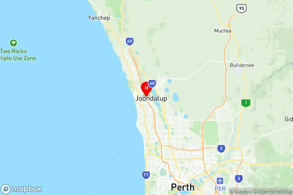
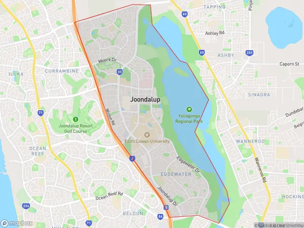
Joondalup Edgewater Suburbs & Region, Joondalup Edgewater Map & Postcodes
Joondalup Edgewater Suburbs & Region, Joondalup Edgewater Map & Postcodes in Joondalup Edgewater, Wanneroo, Perth North West, WA, AU
Joondalup Edgewater Region
Region Name
Joondalup Edgewater (WA, AU)Joondalup Edgewater Area
15.62 square kilometers (15.62 ㎢)Postal Codes
6027, and 6919 (In total, there are 2 postcodes in Joondalup Edgewater.)Joondalup Edgewater Introduction
Joondalup Edgewater is a suburb in the City of Joondalup, located 20 kilometers (12 mi) north-west of Perth's central business district (CBD) in Western Australia. It is part of the Perth metropolitan area. The suburb is named after the Edgewater Canal, which runs through it. The canal was built in the 1890s to provide a water supply to the growing city of Perth. The suburb has a variety of housing options, including apartments, townhouses, and single-family homes. It is a popular location for families and young professionals due to its proximity to the beach, shopping centers, and public transportation. The suburb also has a number of parks and recreational facilities, including the Edgewater Canal Reserve, which is a popular spot for picnics and walks. In terms of education, Joondalup Edgewater has a number of primary and secondary schools, including St Mary's Anglican Girls School, Lake Joondalup Primary School, and John Tonkin College. The suburb is also home to a number of universities and colleges, including the University of Western Australia, Edith Cowan University, and Curtin University. Overall, Joondalup Edgewater is a well-established and popular suburb with a variety of housing options, recreational facilities, and educational institutions. It is a convenient location for those who work in Perth or who want to enjoy the benefits of living by the beachAustralia State
City or Big Region
Greater Capital City
Greater Perth (5GPER)District or Regional Area
Suburb Name
Joondalup Edgewater Region Map

Joondalup Edgewater Postcodes / Zip Codes
Joondalup Edgewater Suburbs
Joondalup Edgewater full address
Joondalup Edgewater, Wanneroo, Perth North West, Western Australia, WA, Australia, SaCode: 505011077Country
Joondalup Edgewater, Wanneroo, Perth North West, Western Australia, WA, Australia, SaCode: 505011077
Joondalup Edgewater Suburbs & Region, Joondalup Edgewater Map & Postcodes has 0 areas or regions above, and there are 4 Joondalup Edgewater suburbs below. The sa2code for the Joondalup Edgewater region is 505011077. Its latitude and longitude coordinates are -31.7412,115.759. Joondalup Edgewater area belongs to Australia's greater capital city Greater Perth.
Joondalup Edgewater Suburbs & Localities
1. Edgewater
2. Joondalup Dc
3. Joondalup
4. Joondalup Dc
