Madeley Darch Landsdale Suburbs & Region, Madeley Darch Landsdale Map & Postcodes
Madeley Darch Landsdale Suburbs & Region, Madeley Darch Landsdale Map & Postcodes in Madeley Darch Landsdale, Wanneroo, Perth North West, WA, AU
Madeley Darch Landsdale Region
Region Name
Madeley Darch Landsdale (WA, AU)Madeley Darch Landsdale Introduction
Madeley Darch Landsdale is a suburb located in the City of Wanneroo of Western Australia. It is named after the Madeley family, who were early settlers in the area. The suburb is located in the northern part of the city and is bordered by the Indian Ocean to the north, the Wanneroo Road to the east, the Joondalup railway line to the south, and the Yanchep National Park to the west. The suburb has a variety of housing options, including single-family homes, duplexes, and apartments. There are also several parks and recreational facilities in the area, including the Madeley Darch Reserve, which has a playground, walking trails, and a basketball court. The suburb is also home to several shopping centers, including the Madeley Shopping Centre and the Westfield Whitford City shopping complex. Madeley Darch Landsdale is a convenient location for those who work in Perth or the surrounding areas, with easy access to the Perth CBD and the North-West Highway. The suburb is also well-serviced by public transportation, with several bus routes and a train station located within walking distance.Australia State
City or Big Region
District or Regional Area
Suburb Name
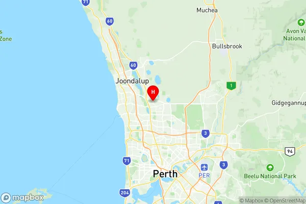
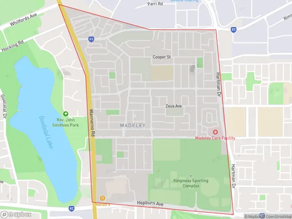
Madeley Darch Landsdale Region Map

Madeley Darch Landsdale Suburbs
Madeley Darch Landsdale full address
Madeley Darch Landsdale, Wanneroo, Perth North West, Western Australia, WA, Australia, SaCode: 505031103Country
Madeley Darch Landsdale, Wanneroo, Perth North West, Western Australia, WA, Australia, SaCode: 505031103
Madeley Darch Landsdale Suburbs & Region, Madeley Darch Landsdale Map & Postcodes has 0 areas or regions above, and there are 0 Madeley Darch Landsdale suburbs below. The sa2code for the Madeley Darch Landsdale region is 505031103. Its latitude and longitude coordinates are -31.7915,115.828.
