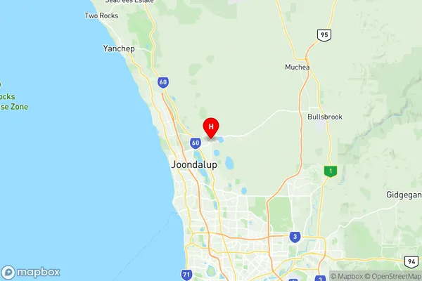
Carramar Suburbs & Region, Carramar Map & Postcodes
Carramar Suburbs & Region, Carramar Map & Postcodes in Carramar, Wanneroo, Perth North West, WA, AU
Carramar Region
Region Name
Carramar (WA, AU)Carramar Area
30.01 square kilometers (30.01 ㎢)Postal Codes
6031 (In total, there are 1 postcodes in Carramar.)Carramar Introduction
Carramar is a suburb of Perth, the capital city of Western Australia, located 10 kilometers north-west of the Perth central business district (CBD). It is part of the City of Stirling local government area. The suburb is named after the Carramar railway station, which was opened on the Midland Railway in 1891. Carramar is a relatively new suburb, with most of the development occurring in the 1990s and 2000s. It is a popular residential area with a mix of single-family homes, townhouses, and apartments. The suburb has a variety of amenities, including a shopping center, a medical center, a library, and several parks and recreational facilities. Carramar is well-connected to the rest of Perth via the Perth freeway and public transportation. It is also close to several beaches, including the popular City Beach and Trigg Beach. The suburb is home to a number of prominent individuals, including former Australian cricket captain Steve Waugh and musician Chris Cheney.Australia State
City or Big Region
Greater Capital City
Greater Perth (5GPER)District or Regional Area
Suburb Name
Carramar Region Map

Carramar Postcodes / Zip Codes
Carramar Suburbs
Carramar full address
Carramar, Wanneroo, Perth North West, Western Australia, WA, Australia, SaCode: 505031100Country
Carramar, Wanneroo, Perth North West, Western Australia, WA, Australia, SaCode: 505031100
Carramar Suburbs & Region, Carramar Map & Postcodes has 0 areas or regions above, and there are 2 Carramar suburbs below. The sa2code for the Carramar region is 505031100. Its latitude and longitude coordinates are -31.7032,115.805. Carramar area belongs to Australia's greater capital city Greater Perth.
Carramar Suburbs & Localities
1. Banksia Grove
2. Carramar
