Coromandel Suburbs & Region, Coromandel Map & Postcodes in Coromandel, Waikato
Coromandel Postcodes, Coromandel ZipCodes, Coromandel , Coromandel Waikato, Coromandel Suburbs, Coromandel Region, Coromandel Map, Coromandel Area
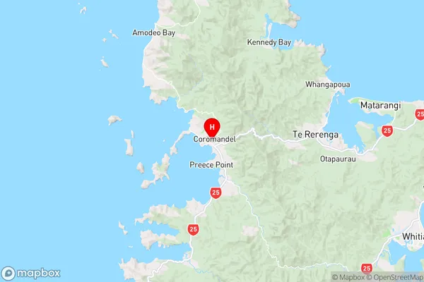
Coromandel Region (Coromandel Hills Region)
Coromandel Suburbs
Coromandel is a city place type in Waikato, NZ. It contains 18 suburbs or localities.Coromandel Region Map
Coromandel Introduction
Coromandel is a popular holiday destination located on the North Island of New Zealand, known for its stunning natural beauty, including golden beaches, rugged mountain ranges, and lush forests. The area is famous for its outdoor activities, such as hiking, fishing, and surfing, and is home to many popular attractions, such as the Hot Water Beach, Cathedral Cove, and the Hauraki Gulf. Coromandel also has a rich cultural heritage, with many historic sites and museums, including the Coromandel Peninsula Museum and the Paeroa Stone Store. The region is well-connected by road and rail, making it an easy destination to explore.Coromandel Region
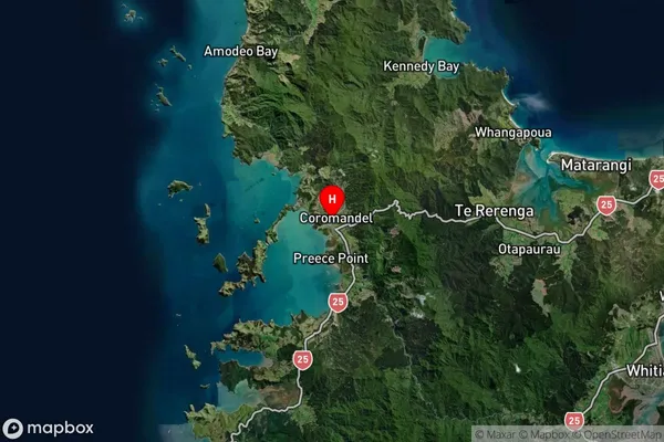
Coromandel Satellite Map
Full Address
Coromandel, WaikatoCoromandel Coordinates
-36.7587094,175.4981213 (Latitude / Longitude)Coromandel Map in NZ
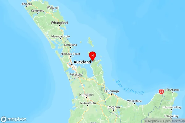
NZ Island
North IslandCountry
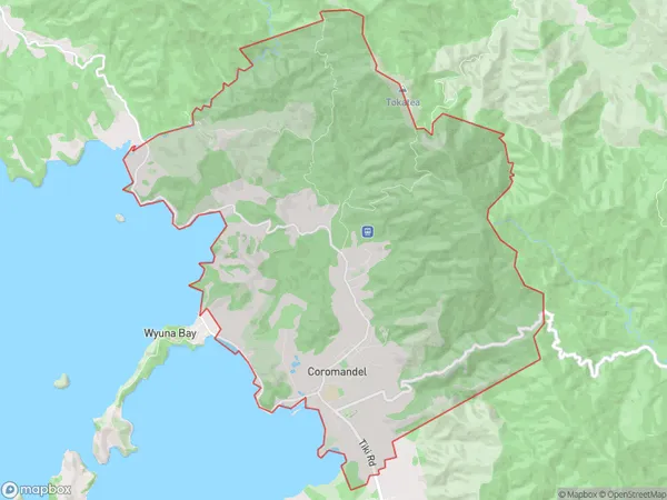
Coromandel Area Map (Polygon)
Name
CoromandelAdditional Name
Coromandel HillsLocal Authority
Thames-Coromandel District
Coromandel Suburbs (Sort by Population)
Coromandel
Coromandel - 1802Manaia
Manaia - 332Kennedy Bay
Kennedy Bay - 235Preece Point
Preece Point - 225Whangapoua
Whangapoua - 190Wyuna Bay
Wyuna Bay - 176Colville
Colville - 176Amodeo Bay
Amodeo Bay - 113Te Kouma
Te Kouma - 110Port Charles
Port Charles - 99Waikawau
Waikawau - 93Tuateawa
Tuateawa - 74Te Rerenga
Te Rerenga - 71Otapaurau
Otapaurau - 48Waiau
Waiau - 29Port Jackson
Port Jackson - 12Waiaro
Waiaro - 7Fletcher Bay
Fletcher Bay - 6
Coromandel Suburbs (Sort in alphabetical)
Colville
Colville
Te Rerenga
Thames-Coromandel