Manaia Area, Manaia Postcode(4612) & Map in Manaia
Manaia Area, Manaia Postcode(4612) & Map in Manaia, Thames-Coromandel District, New Zealand
Manaia, Thames-Coromandel District, New Zealand
Manaia Postcodes
Manaia Area (estimated)
-1.2 square kilometersManaia Population (estimated)
332 people live in Manaia, Waikato, NZManaia Suburb Area Map (Polygon)
Not available for nowManaia Introduction
Manaia is a small town on the Coromandel Peninsula in Waikato, New Zealand. It is known for its beautiful beaches, lush forests, and stunning coastal scenery. The town has a population of around 1,000 people and is a popular destination for tourists and outdoor enthusiasts. Manaia also has a rich cultural heritage, with a strong Maori influence in the area. The town is located about 100 kilometers northeast of Auckland and can be reached by car or bus.Region
Major City
Suburb Name
ManaiaOther Name(s)
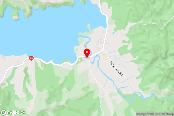
Coromandel HillsManaia Area Map (Street)
Local Authority
Thames-Coromandel DistrictFull Address
Manaia, Thames-Coromandel District, New ZealandAddress Type
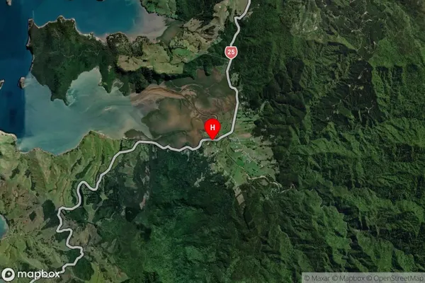
Locality in Town CoromandelManaia Suburb Map (Satellite)
Country
Main Region in AU
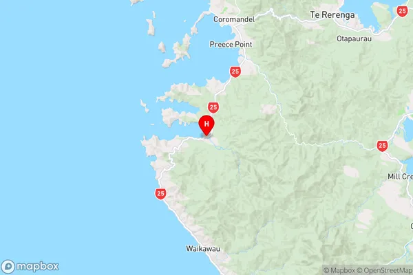
WaikatoManaia Region Map
Coordinates
-36.851723,175.473149 (latitude/longitude)Distances
The distance from Manaia, Coromandel, Thames-Coromandel District to NZ Top 10 Cities