Whangapoua Area, Whangapoua Postcode(3506) & Map in Whangapoua
Whangapoua Area, Whangapoua Postcode(3506) & Map in Whangapoua, Thames-Coromandel District, New Zealand
Whangapoua, Thames-Coromandel District, New Zealand
Whangapoua Postcodes
Whangapoua Area (estimated)
22.7 square kilometersWhangapoua Population (estimated)
190 people live in Whangapoua, Waikato, NZWhangapoua Suburb Area Map (Polygon)
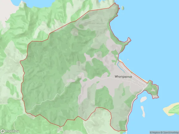
Whangapoua Introduction
Whangapoua is a small coastal village located in the Coromandel Peninsula of Waikato, New Zealand. It is known for its stunning natural beauty, including pristine beaches, lush forests, and towering cliffs. The village is a popular destination for outdoor enthusiasts, with opportunities for hiking, fishing, and kayaking. It is also home to the famous Whangapoua Rock, a large sea stack that is a popular climbing destination.Region
Major City
Suburb Name
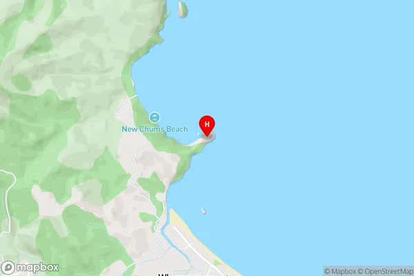
WhangapouaWhangapoua Area Map (Street)
Local Authority
Thames-Coromandel DistrictFull Address
Whangapoua, Thames-Coromandel District, New ZealandAddress Type
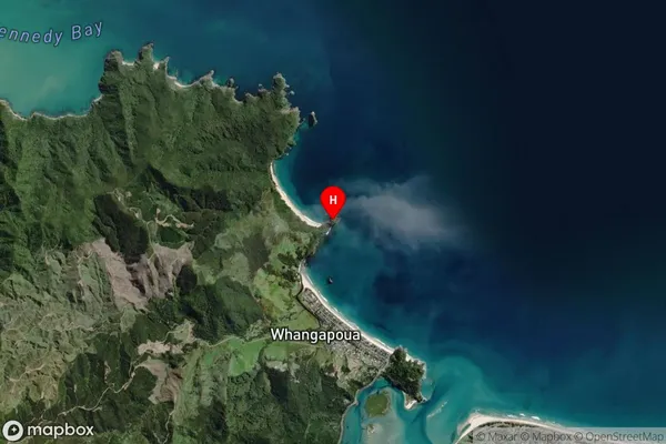
Locality in Town CoromandelWhangapoua Suburb Map (Satellite)
Country
Main Region in AU
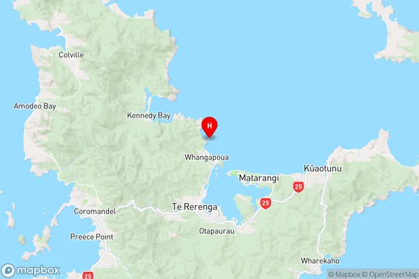
WaikatoWhangapoua Region Map
Coordinates
-36.70051,175.61337 (latitude/longitude)Distances
The distance from Whangapoua, Coromandel, Thames-Coromandel District to NZ Top 10 Cities