Te Rerenga Area, Te Rerenga Postcode(3506) & Map in Te Rerenga
Te Rerenga Area, Te Rerenga Postcode(3506) & Map in Te Rerenga, Thames-Coromandel District, New Zealand
Te Rerenga, Thames-Coromandel District, New Zealand
Te Rerenga Area (estimated)
40.1 square kilometersTe Rerenga Population (estimated)
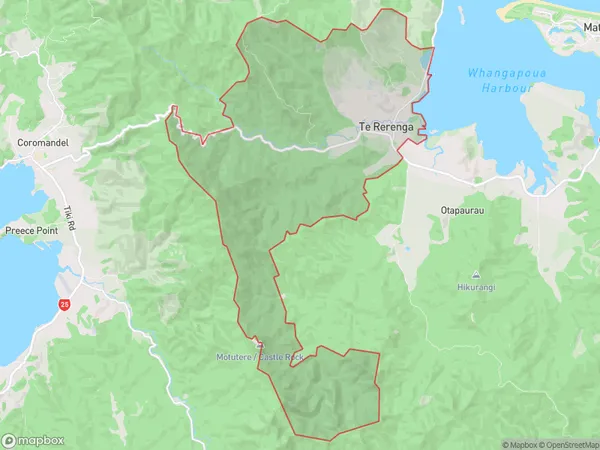
71 people live in Te Rerenga, Waikato, NZTe Rerenga Suburb Area Map (Polygon)
Te Rerenga Introduction
Te Rerenga is a small settlement on the Coromandel Peninsula in Waikato, New Zealand. It is known for its stunning natural beauty, including the Te Rerenga Waiotapu Trail, which follows the coastline and offers breathtaking views of the ocean and surrounding countryside. The settlement also has a small community center and a few shops and cafes.Region
Major City
Suburb Name
Te RerengaOther Name(s)
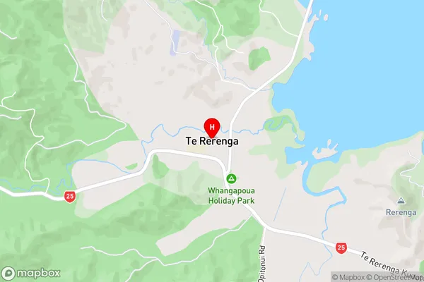
Coromandel HillsTe Rerenga Area Map (Street)
Local Authority
Thames-Coromandel DistrictFull Address
Te Rerenga, Thames-Coromandel District, New ZealandAddress Type
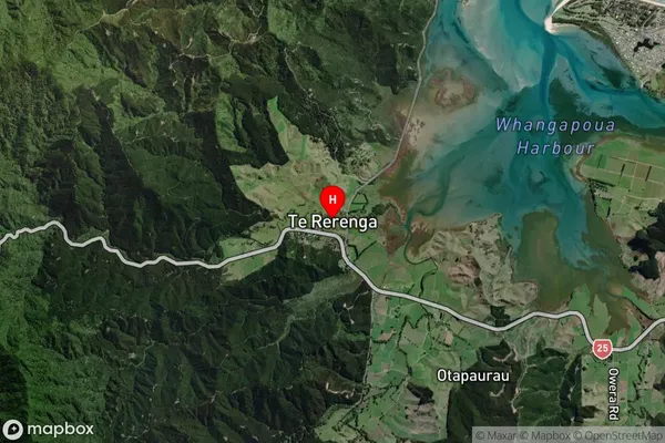
Suburb in Town CoromandelTe Rerenga Suburb Map (Satellite)
Country
Main Region in AU
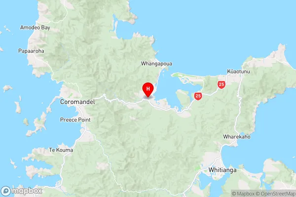
WaikatoTe Rerenga Region Map
Coordinates
-36.7535323,175.5986716 (latitude/longitude)Distances
The distance from Te Rerenga, Coromandel, Thames-Coromandel District to NZ Top 10 Cities