Kennedy Bay Area, Kennedy Bay Postcode(3500) & Map in Kennedy Bay
Kennedy Bay Area, Kennedy Bay Postcode(3500) & Map in Kennedy Bay, Thames-Coromandel District, New Zealand
Kennedy Bay, Thames-Coromandel District, New Zealand
Kennedy Bay Postcodes
Kennedy Bay Area (estimated)
62.1 square kilometersKennedy Bay Population (estimated)
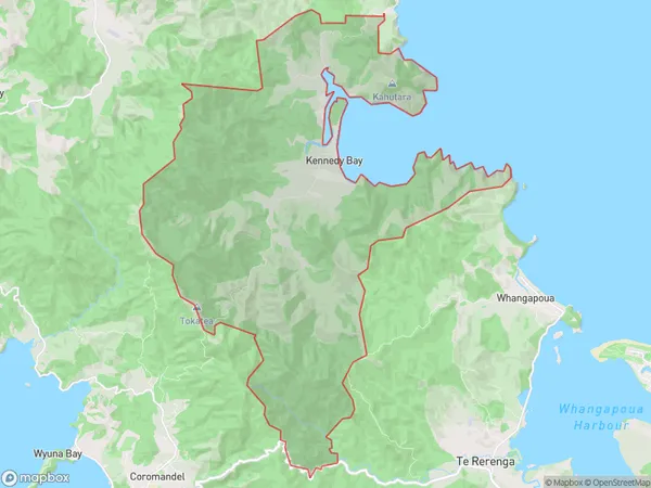
235 people live in Kennedy Bay, Waikato, NZKennedy Bay Suburb Area Map (Polygon)
Kennedy Bay Introduction
Kennedy Bay is a popular beach in the Coromandel Peninsula of New Zealand. It is known for its golden sand, clear waters, and stunning coastal views. The bay is surrounded by lush green hills and is a popular spot for swimming, kayaking, and fishing. There are also several walking tracks and campgrounds in the area, making it a great destination for outdoor enthusiasts.Region
Major City
Suburb Name
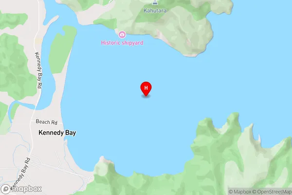
Kennedy BayKennedy Bay Area Map (Street)
Local Authority
Thames-Coromandel DistrictFull Address
Kennedy Bay, Thames-Coromandel District, New ZealandAddress Type
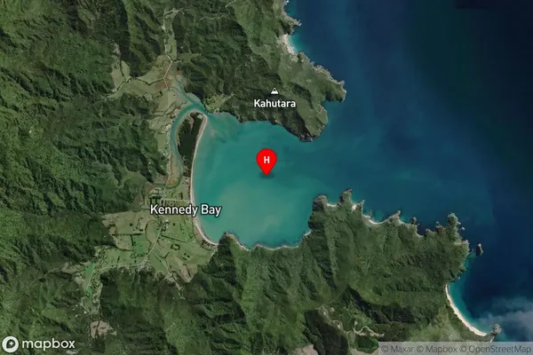
Locality in Town CoromandelKennedy Bay Suburb Map (Satellite)
Country
Main Region in AU
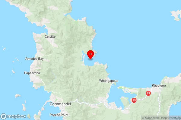
WaikatoKennedy Bay Region Map
Coordinates
-36.6765283,175.569152002255 (latitude/longitude)Distances
The distance from Kennedy Bay, Coromandel, Thames-Coromandel District to NZ Top 10 Cities