Colville Suburbs & Region, Colville Map & Postcodes in Colville, Coromandel, Waikato
Colville Postcodes, Colville ZipCodes, Colville , Colville Waikato, Colville Suburbs, Colville Region, Colville Map, Colville Area
Colville Region (Ohiniwa, Whangaahei Region)
Colville Suburbs
Colville is a suburb place type in Coromandel, Waikato, NZ. It contains 0 suburbs or localities.Colville Postcodes
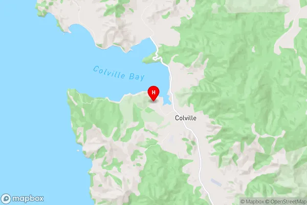
Colville Region Map
Colville Introduction
Colville is a small town in the Waikato region of New Zealand. It is located on State Highway 1, approximately 35 km south of Hamilton. The town has a population of around 1,000 people and is known for its historic buildings and scenic surroundings. The Colville River flows through the town, and there are several parks and recreational facilities for residents and visitors to enjoy. The town also has a primary school, a convenience store, and a petrol station.Colville Region
Colville City
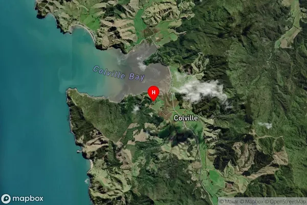
Colville Satellite Map
Full Address
Colville, Coromandel, WaikatoColville Coordinates
-36.629488,175.46648 (Latitude / Longitude)Colville Map in NZ

NZ Island
North IslandCountry
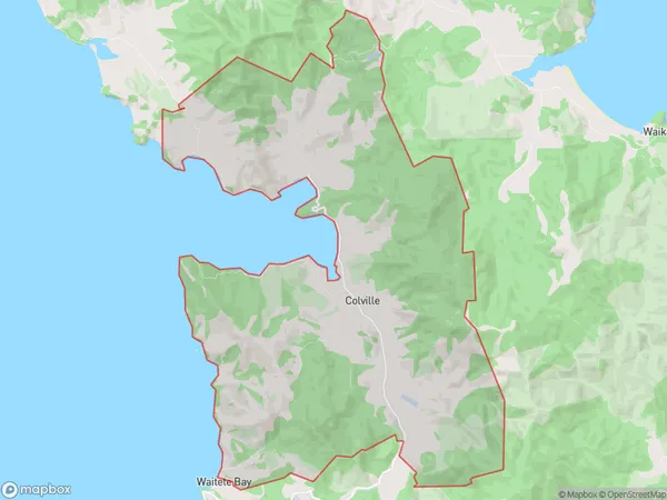
Colville Area Map (Polygon)
Name
ColvilleAdditional Name
Ohiniwa, WhangaaheiLocal Authority
Thames-Coromandel District
Colville Suburbs (Sort by Population)
Colville also known as Ohiniwa, Whangaahei. Colville suburb has around
44.6 square
kilometers.There are more than 176 people (estimated)
live in Colville, Coromandel, Waikato, New Zealand.