Colville Area, Colville Postcode(3584) & Map in Colville
Colville Area, Colville Postcode(3584) & Map in Colville, Thames-Coromandel District, New Zealand
Colville, Thames-Coromandel District, New Zealand
Colville Area (estimated)
44.6 square kilometersColville Population (estimated)
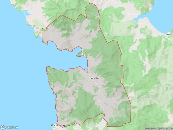
176 people live in Colville, Waikato, NZColville Suburb Area Map (Polygon)
Colville Introduction
Colville is a small rural town in the Coromandel Peninsula of Waikato, New Zealand. It is known for its beautiful beaches, lush forests, and stunning scenery. The town has a population of around 1,000 people and is a popular destination for tourists and outdoor enthusiasts. Colville also has a historic church and a community hall, and is home to a variety of shops and cafes.Region
Major City
Suburb Name
ColvilleOther Name(s)
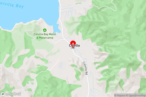
Ohiniwa, WhangaaheiColville Area Map (Street)
Local Authority
Thames-Coromandel DistrictFull Address
Colville, Thames-Coromandel District, New ZealandAddress Type
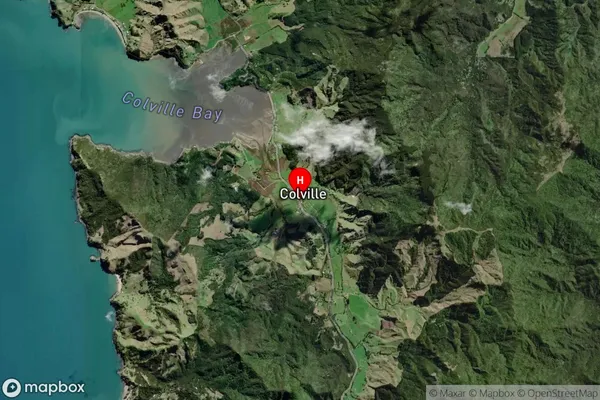
Locality in Town CoromandelColville Suburb Map (Satellite)
Country
Main Region in AU
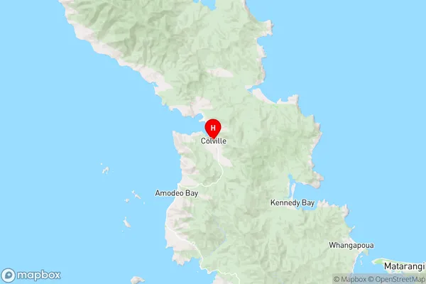
WaikatoColville Region Map
Coordinates
-36.6344954,175.4767806 (latitude/longitude)Distances
The distance from Colville, Coromandel, Thames-Coromandel District to NZ Top 10 Cities